MyTopo
Chico Draw West Texas US Topo Map
Couldn't load pickup availability
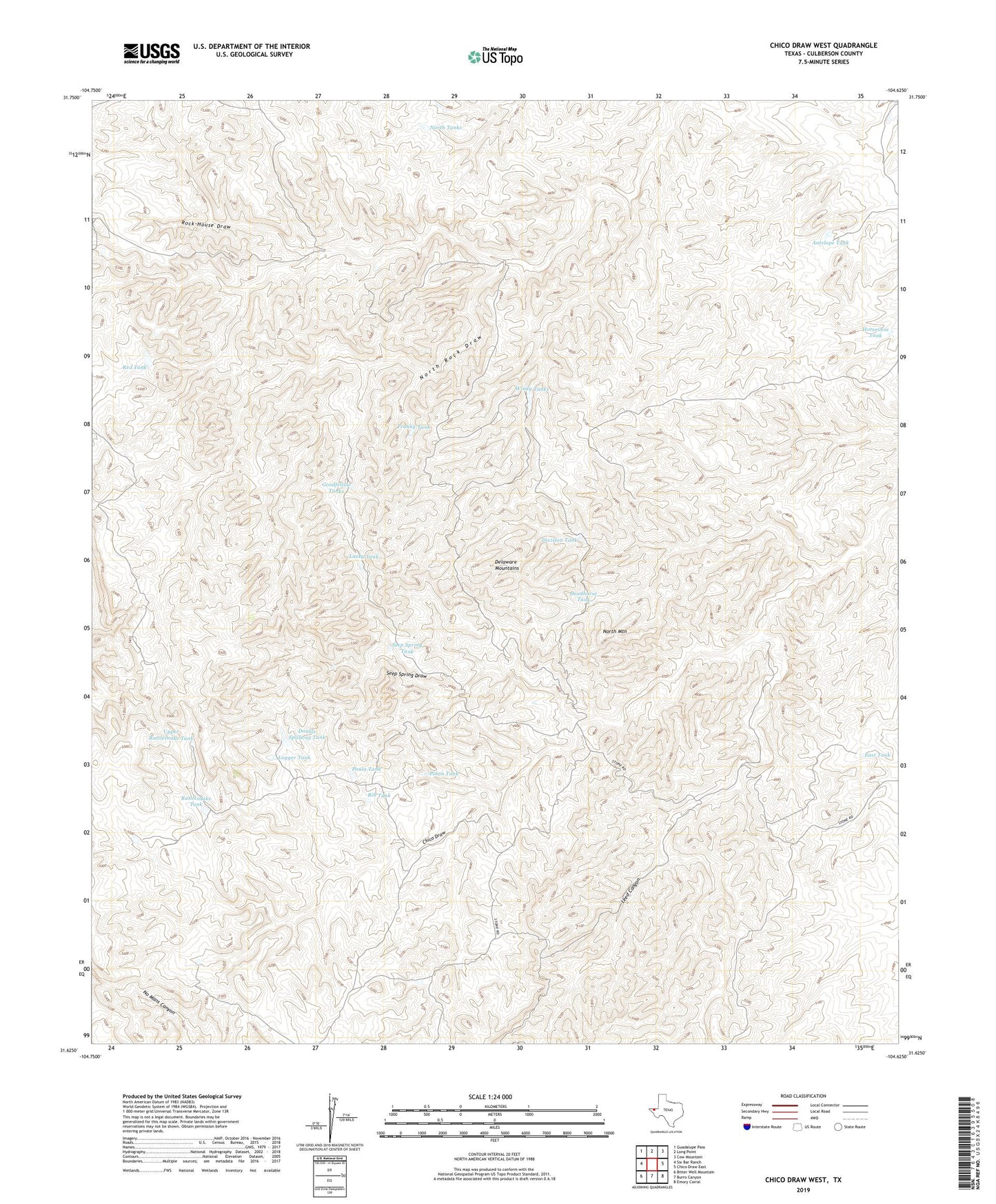
2019 topographic map quadrangle Chico Draw West in the state of Texas. Scale: 1:24000. Based on the newly updated USGS 7.5' US Topo map series, this map is in the following counties: Culberson. The map contains contour data, water features, and other items you are used to seeing on USGS maps, but also has updated roads and other features. This is the next generation of topographic maps. Printed on high-quality waterproof paper with UV fade-resistant inks.
Quads adjacent to this one:
West: Six Bar Ranch
Northwest: Guadalupe Pass
North: Long Point
Northeast: Cow Mountain
East: Chico Draw East
Southeast: Emory Corral
South: Burro Canyon
Southwest: Bitter Well Mountain
Contains the following named places: Antelope Tank, Chico Ranch, Deadhorse Tank, Division Tank, Double Spillway Tank, East Tank, Franky Tank, Goodfellow Tanks, Horseshoe Tank, Leed Canyon, Logger Tank, Lucky Tank, North Mountain, North Tanks, Paula Tank, Pinon Tank, Rattlesnake Tank, Red Tank, Rib Tank, Rock House Draw, Seep Spring Draw, Seep Spring Tank, Upper Rattlesnake Tank, Wilson Tank, Windy Tanks