MyTopo
Guadalupe Pass Texas US Topo Map
Couldn't load pickup availability
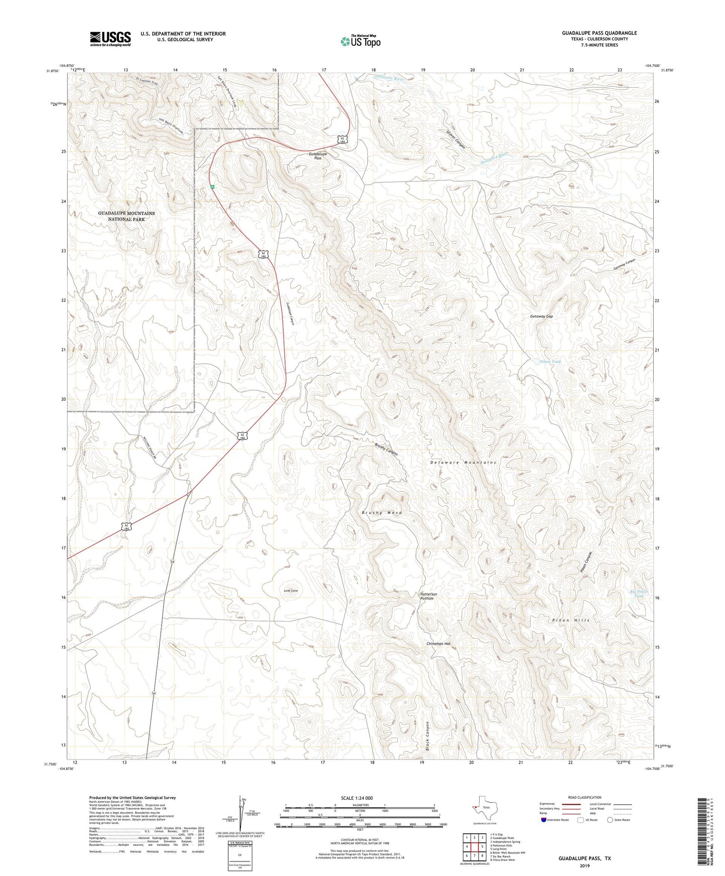
2022 topographic map quadrangle Guadalupe Pass in the state of Texas. Scale: 1:24000. Based on the newly updated USGS 7.5' US Topo map series, this map is in the following counties: Culberson. The map contains contour data, water features, and other items you are used to seeing on USGS maps, but also has updated roads and other features. This is the next generation of topographic maps. Printed on high-quality waterproof paper with UV fade-resistant inks.
Quads adjacent to this one:
West: Patterson Hills
Northwest: P X Flat
North: Guadalupe Peak
Northeast: Independence Spring
East: Long Point
Southeast: Chico Draw West
South: Six Bar Ranch
Southwest: Bitter Well Mountain NW
This map covers the same area as the classic USGS quad with code o31104g7.
Contains the following named places: Big Pinon Tank, Brushy Canyon, Brushy Mesa, Chinaman Hat, El Capitan Trail, Getaway Gap, Glover Canyon, Guadalupe Canyon, Guadalupe Pass, Lone Cone, Panther Seep, Patterson Pothole, Pinon Hills, Pinon Tank