MyTopo
China Ranch Texas US Topo Map
Couldn't load pickup availability
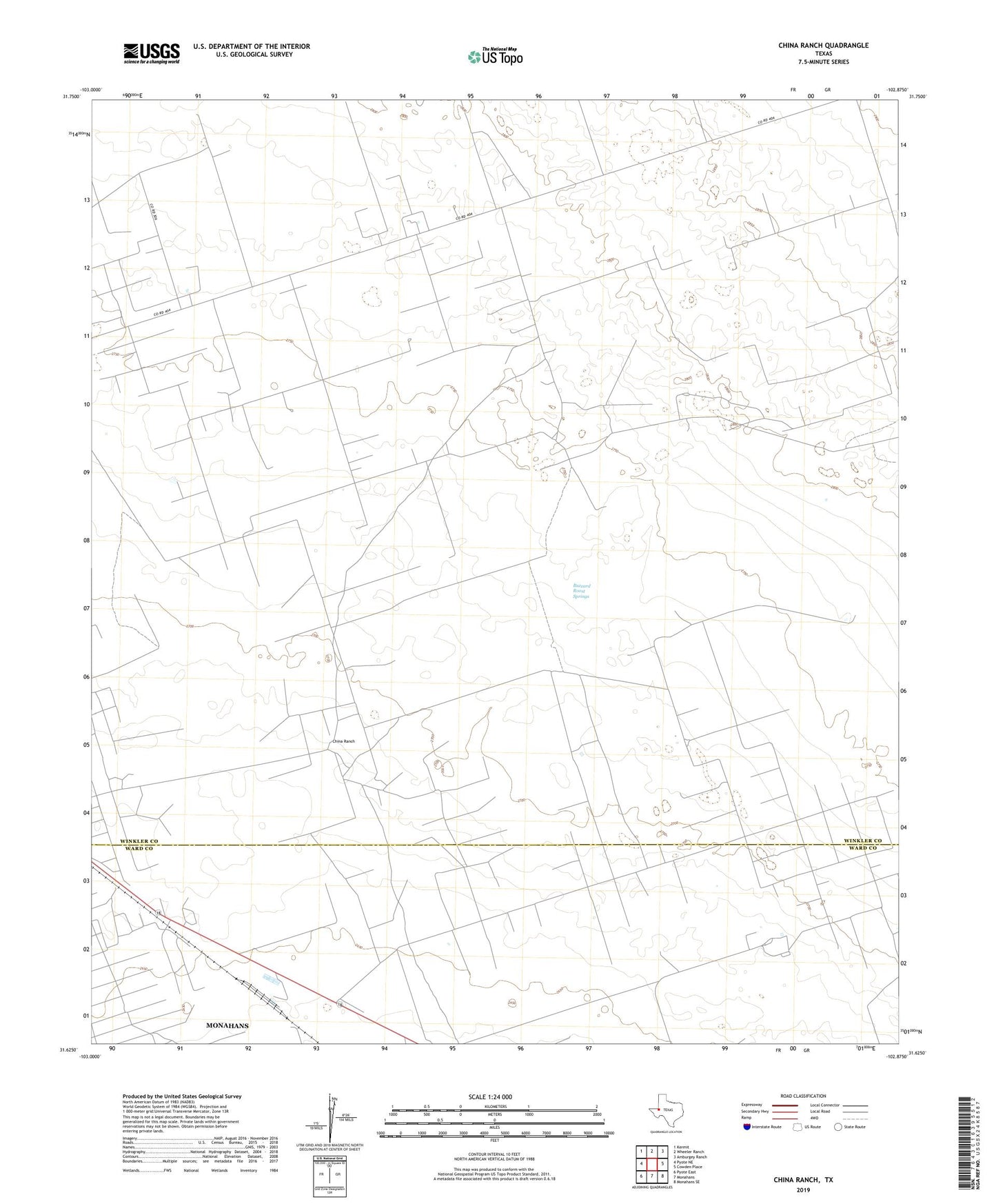
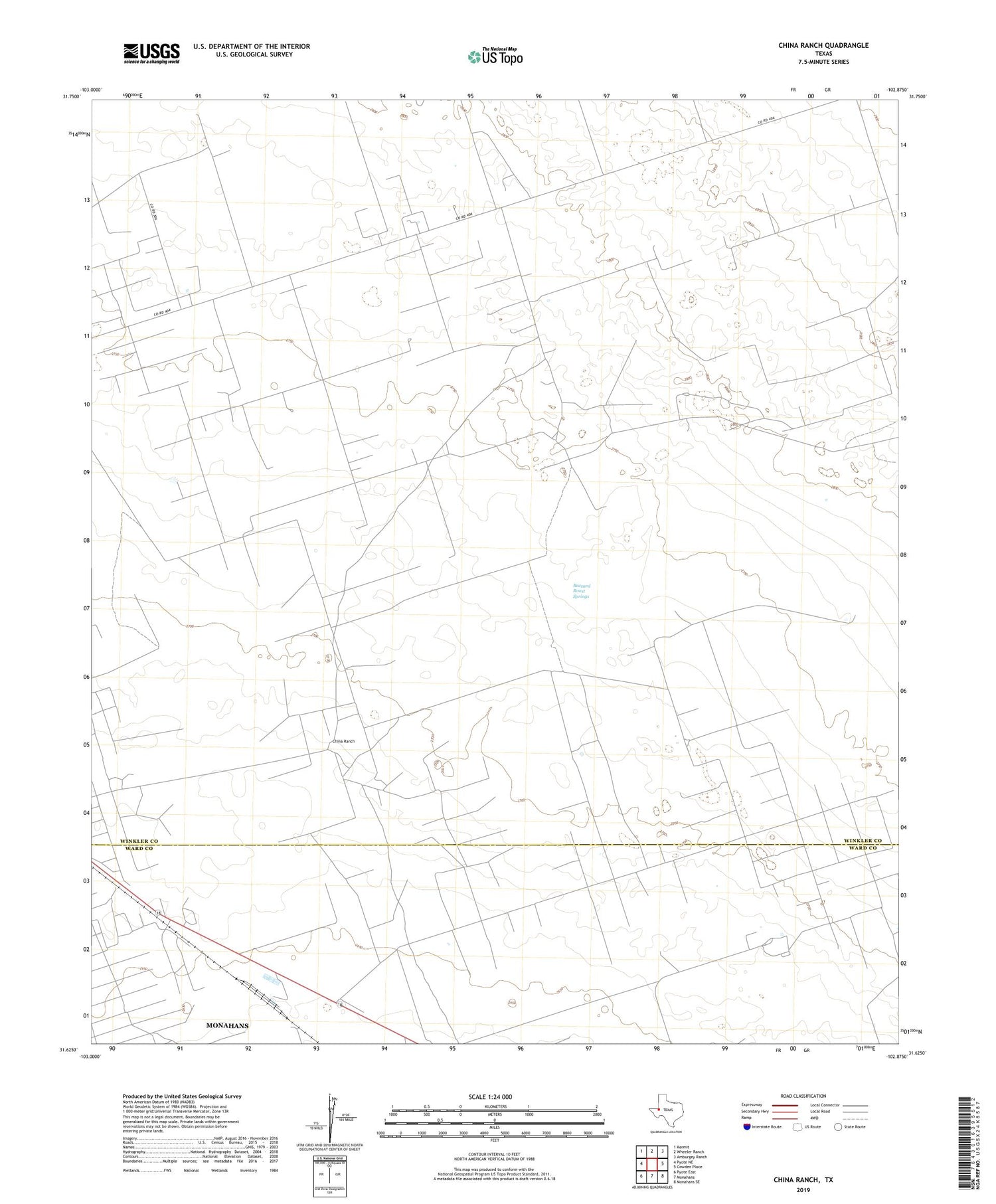
2019 topographic map quadrangle China Ranch in the state of Texas. Scale: 1:24000. Based on the newly updated USGS 7.5' US Topo map series, this map is in the following counties: Winkler, Ward. The map contains contour data, water features, and other items you are used to seeing on USGS maps, but also has updated roads and other features. This is the next generation of topographic maps. Printed on high-quality waterproof paper with UV fade-resistant inks.
Quads adjacent to this one:
West: Pyote NE
Northwest: Kermit
North: Wheeler Ranch
Northeast: Amburgey Ranch
East: Cowden Place
Southeast: Monahans SE
South: Monahans
Southwest: Pyote East
Contains the following named places: Bull Well, Buzzard Roost Springs, China Ranch, Halley Gas Plant, Halley Oil Field, Hawk Windmill, Humble Windmill, Little Redtop Windmill, Middle Windmill, Mitchell Windmill, Monahans Gasoline Plant, Monahans Oil Field, North Camp Windmill, North Monahans Oil Field, North Windmill, Old Redtop Windmill, Stub Windmill, Wildcat Windmill, Willow Springs