MyTopo
Pyote East Texas US Topo Map
Couldn't load pickup availability
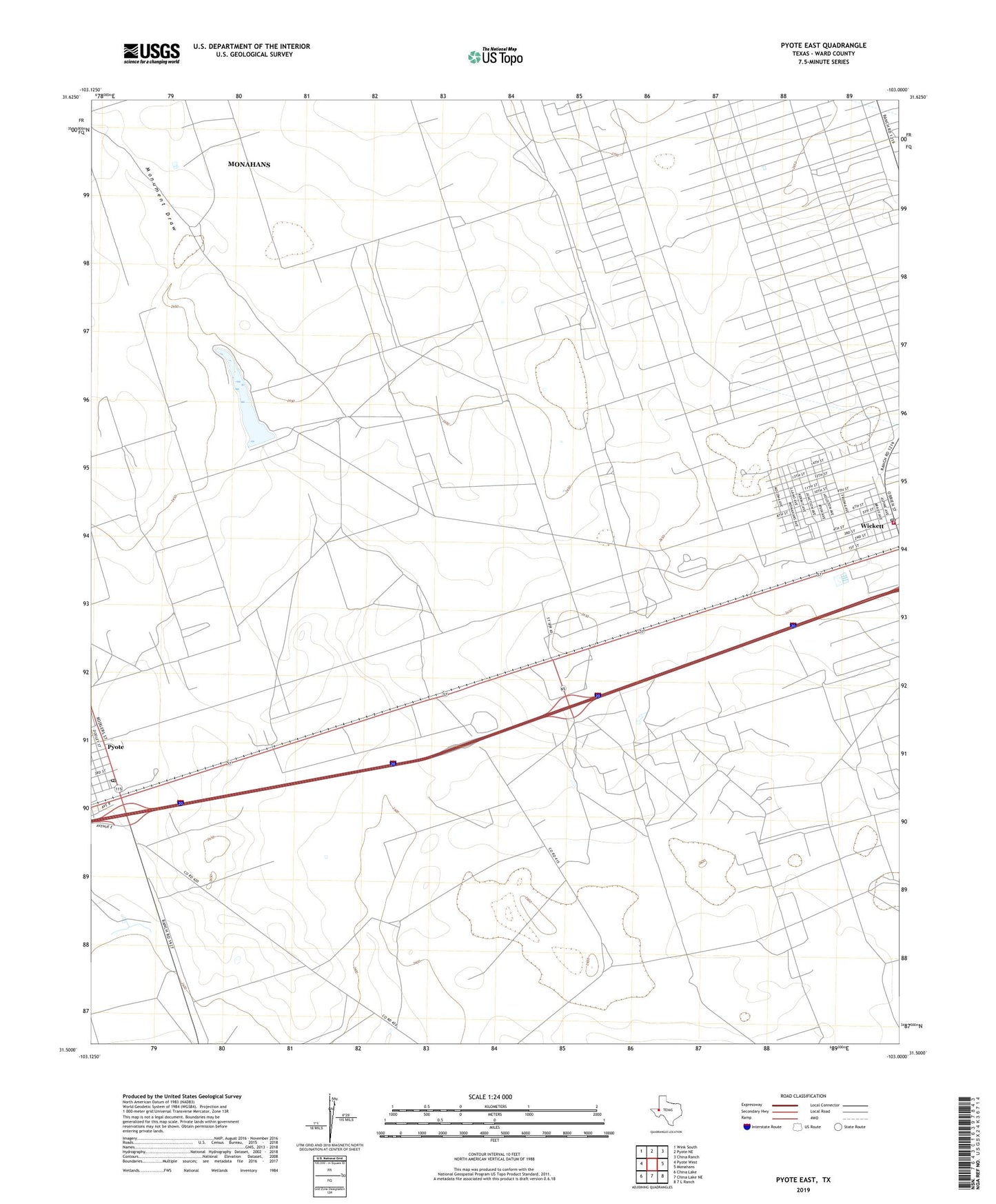
2022 topographic map quadrangle Pyote East in the state of Texas. Scale: 1:24000. Based on the newly updated USGS 7.5' US Topo map series, this map is in the following counties: Ward. The map contains contour data, water features, and other items you are used to seeing on USGS maps, but also has updated roads and other features. This is the next generation of topographic maps. Printed on high-quality waterproof paper with UV fade-resistant inks.
Quads adjacent to this one:
West: Pyote West
Northwest: Wink South
North: Pyote NE
Northeast: China Ranch
East: Monahans
Southeast: 7 L Ranch
South: China Lake NE
Southwest: China Lake
This map covers the same area as the classic USGS quad with code o31103e1.
Contains the following named places: Bull Well, East Well, Gensler Elementary School, Half h Windmill, Monument Pond, Monument Pond Dam, North Well, North Windmill, Pyote Cemetery, Pyote Post Office, Recorder Windmill, Sand Well, South Sealy Oil Field, Tie Ranch, Town of Pyote, Town of Wickett, Ward County, West Well, Wickett, Wickett City Hall, Wickett City Marshal's Office, Wickett Post Office, Wickett South Oil Field, Wickett Volunteer Fire Department