MyTopo
Christmas Mountains Texas US Topo Map
Couldn't load pickup availability
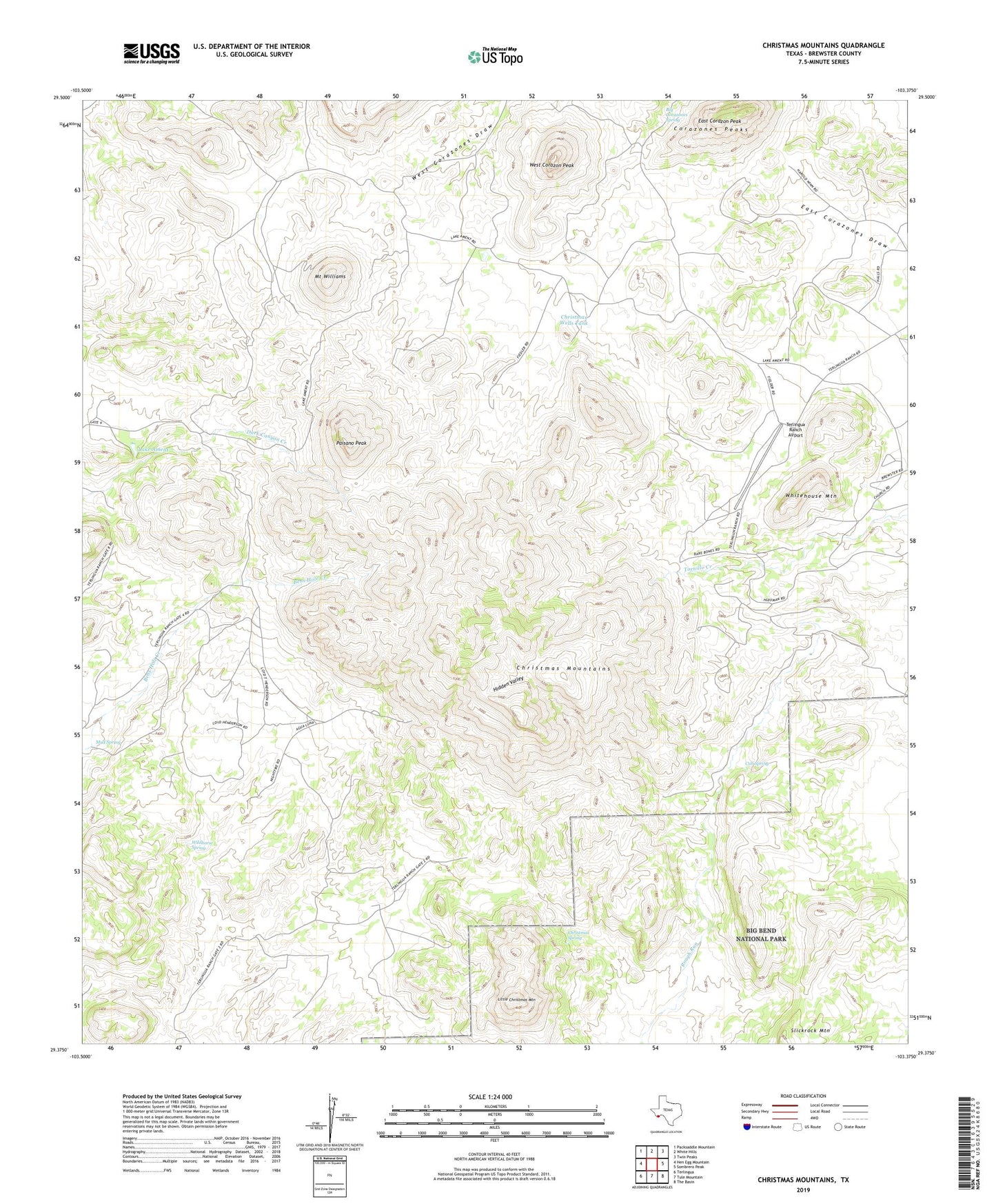
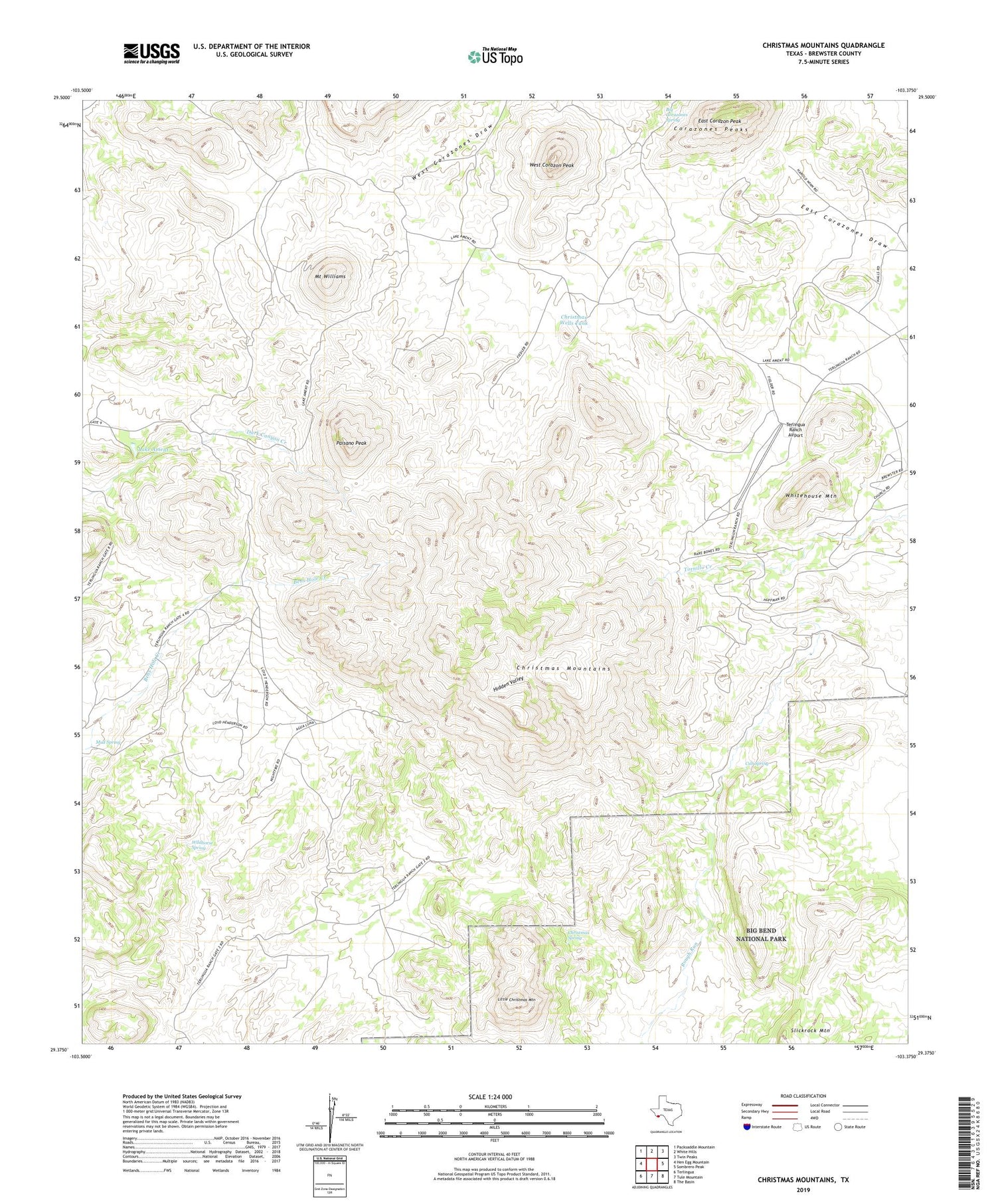
2019 topographic map quadrangle Christmas Mountains in the state of Texas. Scale: 1:24000. Based on the newly updated USGS 7.5' US Topo map series, this map is in the following counties: Brewster. The map contains contour data, water features, and other items you are used to seeing on USGS maps, but also has updated roads and other features. This is the next generation of topographic maps. Printed on high-quality waterproof paper with UV fade-resistant inks.
Quads adjacent to this one:
West: Hen Egg Mountain
Northwest: Packsaddle Mountain
North: White Hills
Northeast: Twin Peaks
East: Sombrero Peak
Southeast: The Basin
South: Tule Mountain
Southwest: Terlingua
Contains the following named places: Big Corazones Spring, Christmas Mountains, Christmas Spring, Christmas Wells Tank, Corazones Peaks, Cub Spring, East Corazon Peak, Fernandes Mine, Hidden Valley, Lake Ament, Little Christmas Mountain, Mount Williams, Mud Spring, Paisano Peak, Terlingua Ranch Airport, Terlingua Ranch Lodge, West Corazon Peak, Whitehouse Mountain, Wildhorse Spring