MyTopo
Circle Bluff Texas US Topo Map
Couldn't load pickup availability
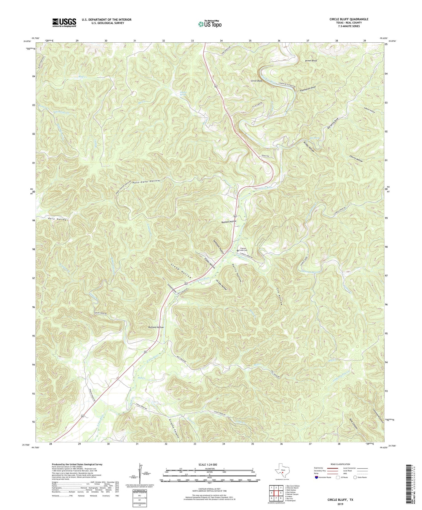
2019 topographic map quadrangle Circle Bluff in the state of Texas. Scale: 1:24000. Based on the newly updated USGS 7.5' US Topo map series, this map is in the following counties: Real. The map contains contour data, water features, and other items you are used to seeing on USGS maps, but also has updated roads and other features. This is the next generation of topographic maps. Printed on high-quality waterproof paper with UV fade-resistant inks.
Quads adjacent to this one:
West: Owl Hollow
Northwest: Bee Cave Hollow
North: Hillcrest Ranch
Northeast: Well Hollow
East: Sabinal Canyon
Southeast: Vanderpool
South: Rio Frio
Southwest: Leakey
Contains the following named places: Basham Hollow, Bee Creek, Big Spring, Big Spring Draw, Bridge Hollow, Brown Bluff, Butt Foundation Camp, Bybee Creek, Chalk Creek, Cherry Hollow, Circle Bluff, Cypress Creek, Cypress Creek Cemetery, East Indian Creek, Fisher Hollow, Gilland Hollow, Gobbler Hollow, Grigsby Canyon, Harris Hollow, Hi Saw Hollow, Indian Creek, Left Riemer Creek, Lin Hollow, Middle Indian Creek, Mill Creek, North Prong Cypress Creek, Panther Spring, Perry Ranch, Pole Cave Hollow, Preemption Draw, Right Riemer Creek, Rutland Hollow, Silver Creek, South Prong Cypress Creek, Steep Hollow, Sycamore Hollow, Tracy Creek, Walnut Creek, West Indian Creek, ZIP Code: 78873