MyTopo
Bee Cave Hollow Texas US Topo Map
Couldn't load pickup availability
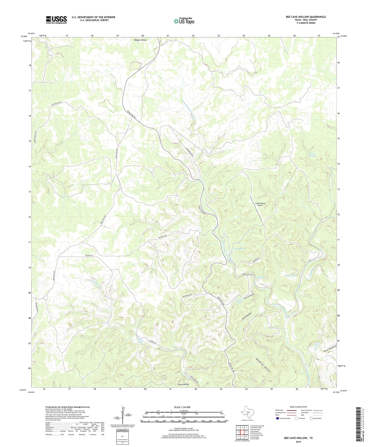
2022 topographic map quadrangle Bee Cave Hollow in the state of Texas. Scale: 1:24000. Based on the newly updated USGS 7.5' US Topo map series, this map is in the following counties: Real. The map contains contour data, water features, and other items you are used to seeing on USGS maps, but also has updated roads and other features. This is the next generation of topographic maps. Printed on high-quality waterproof paper with UV fade-resistant inks.
Quads adjacent to this one:
West: Joy Hollow
Northwest: Earwood Creek SW
North: Earwood Creek
Northeast: Garven Store
East: Hillcrest Ranch
Southeast: Circle Bluff
South: Owl Hollow
Southwest: Jo Jan Van Camp
This map covers the same area as the classic USGS quad with code o29099h7.
Contains the following named places: Anvil Hollow, Bee Cave Hollow, Bee Cave Spring, Big Springs, Chittim Springs, Grapevine Creek, Joy Creek, Miller Springs, Mingus Spring, Paint Creek, Plum Hollow, Prade Ranch, Prade Ranch Airport, Prade Springs, Short Prong West Frio River, Yellow Bluff Draw