MyTopo
Clam Lake Texas US Topo Map
Couldn't load pickup availability
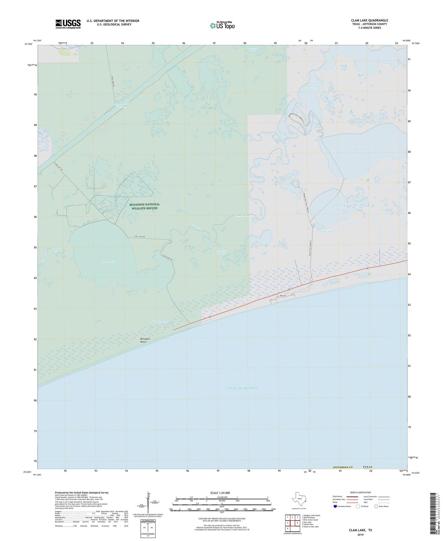
2019 topographic map quadrangle Clam Lake in the state of Texas. Scale: 1:24000. Based on the newly updated USGS 7.5' US Topo map series, this map is in the following counties: Jefferson. The map contains contour data, water features, and other items you are used to seeing on USGS maps, but also has updated roads and other features. This is the next generation of topographic maps. Printed on high-quality waterproof paper with UV fade-resistant inks.
Quads adjacent to this one:
West: Star Lake
Northwest: Alligator Hole Marsh
North: Big Hill Bayou
Northeast: Port Arthur South
East: Sabine Pass
Southwest: South of Star Lake
Contains the following named places: Clam Lake, Clam Lake Oil Field, Dipping Vat Ponds, Fence Lake, Little Fence Lake, McFaddin Beach, Salt Bayou, Salt Lake, Sea Rim State Park, Tenmile Cut, Wiseman Lake