MyTopo
South of Star Lake Texas US Topo Map
Couldn't load pickup availability
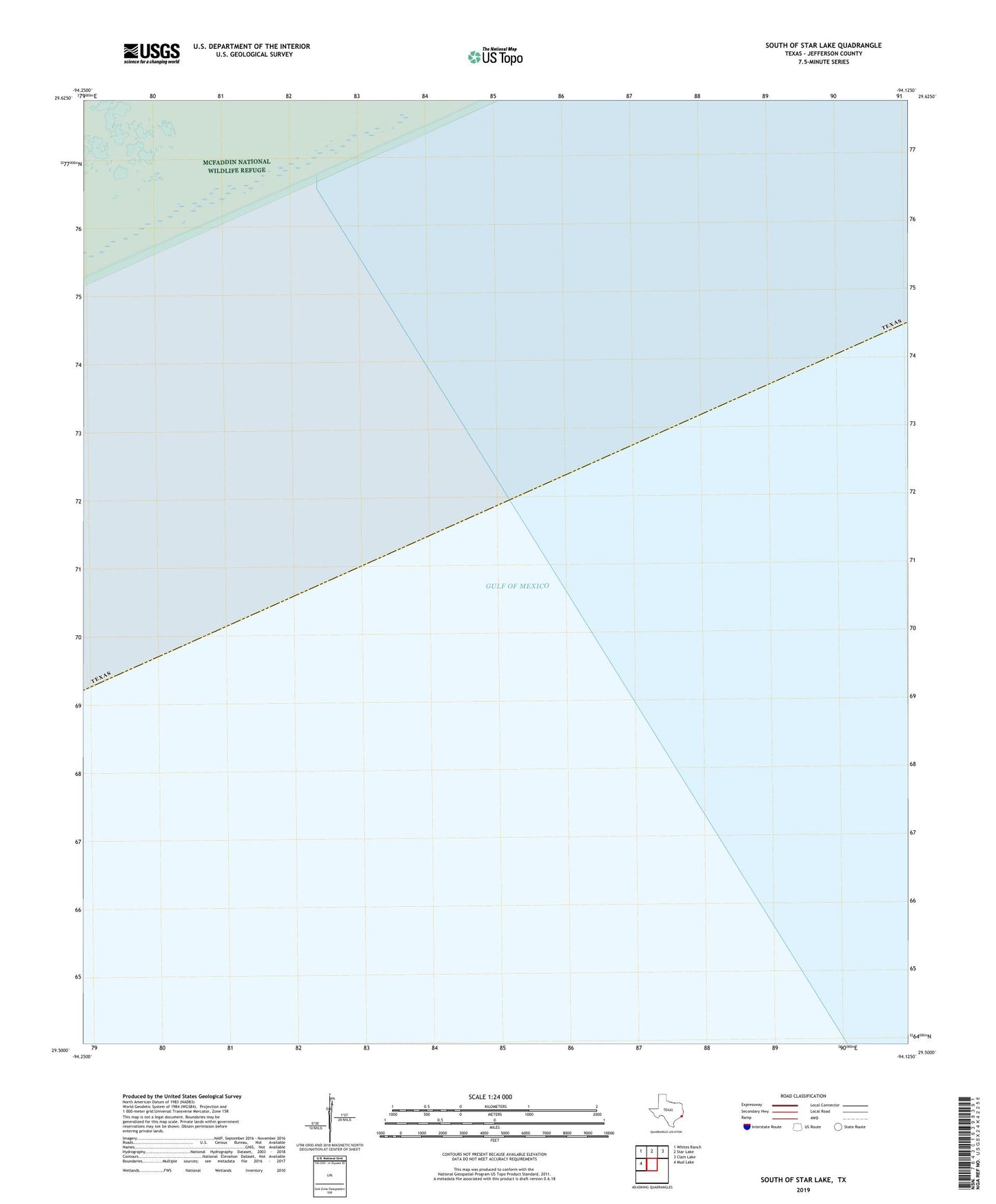
2025 topographic map quadrangle South of Star Lake in the state of Texas. Scale: 1:24000. Based on the newly updated USGS 7.5' US Topo map series, this map is in the following counties: Jefferson. The map contains contour data, water features, and other items you are used to seeing on USGS maps, but also has updated roads and other features. This is the next generation of topographic maps. Printed on high-quality waterproof paper with UV fade-resistant inks.
Quads adjacent to this one:
West: Mud Lake
Northwest: Whites Ranch
North: Star Lake
Northeast: Clam Lake
This map covers the same area as the classic USGS quad with code o29094e2.
Contains the following named places: Arco High Island Heliport, Atlanta Public Library