MyTopo
Collinsville Texas US Topo Map
Couldn't load pickup availability
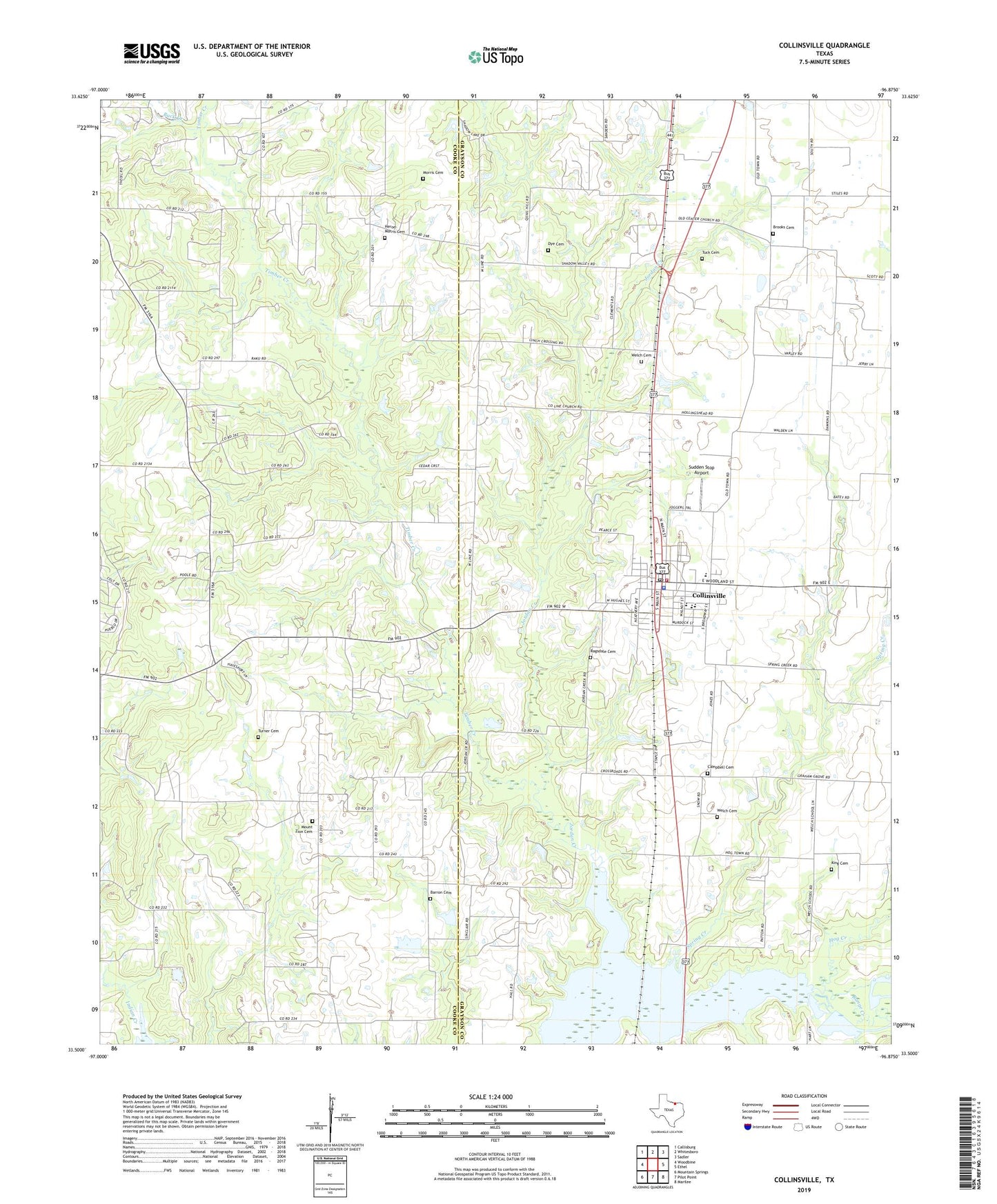
2019 topographic map quadrangle Collinsville in the state of Texas. Scale: 1:24000. Based on the newly updated USGS 7.5' US Topo map series, this map is in the following counties: Grayson, Cooke. The map contains contour data, water features, and other items you are used to seeing on USGS maps, but also has updated roads and other features. This is the next generation of topographic maps. Printed on high-quality waterproof paper with UV fade-resistant inks.
Quads adjacent to this one:
West: Woodbine
Northwest: Callisburg
North: Whitesboro
Northeast: Sadler
East: Ethel
Southeast: Marilee
South: Pilot Point
Southwest: Mountain Springs
Contains the following named places: Barron Cemetery, Brooks Cemetery, Buck Creek, Burton School, Campbell Cemetery, Collinsville, Collinsville Cemetery, Collinsville City Hall, Collinsville High School, Collinsville Oil Field, Collinsville Police Department, Collinsville Post Office, Collinsville Volunteer Fire Department, Concord Church, County Line Church, Dawkins Oil Field, Dove Oil Field, Dye Cemetery, Hayesport Airport, Herod-Morris Cemetery, Hog Creek, Hutton Cemetery, Indian Creek Church, Jordan Creek, KDGE-FM (Gainesville), King Cemetery, Makoy Oil Field, Morris Cemetery, Mount Zion Cemetery, Mount Zion Number 2 Church, Ragsdale Cemetery, Range Creek, Shady Grove, South Dove Oil Field, Spring Creek, Sudden Stop Airport, Timber Creek, Timber Creek Oil Field, Town of Collinsville, Tuck Cemetery, Turner Cemetery, Underwood Oil Field, Welch Cemetery, Woodbine Oil Field, ZIP Code: 76233