
MyTopo
Cranell Texas US Topo Map
Couldn't load pickup availability
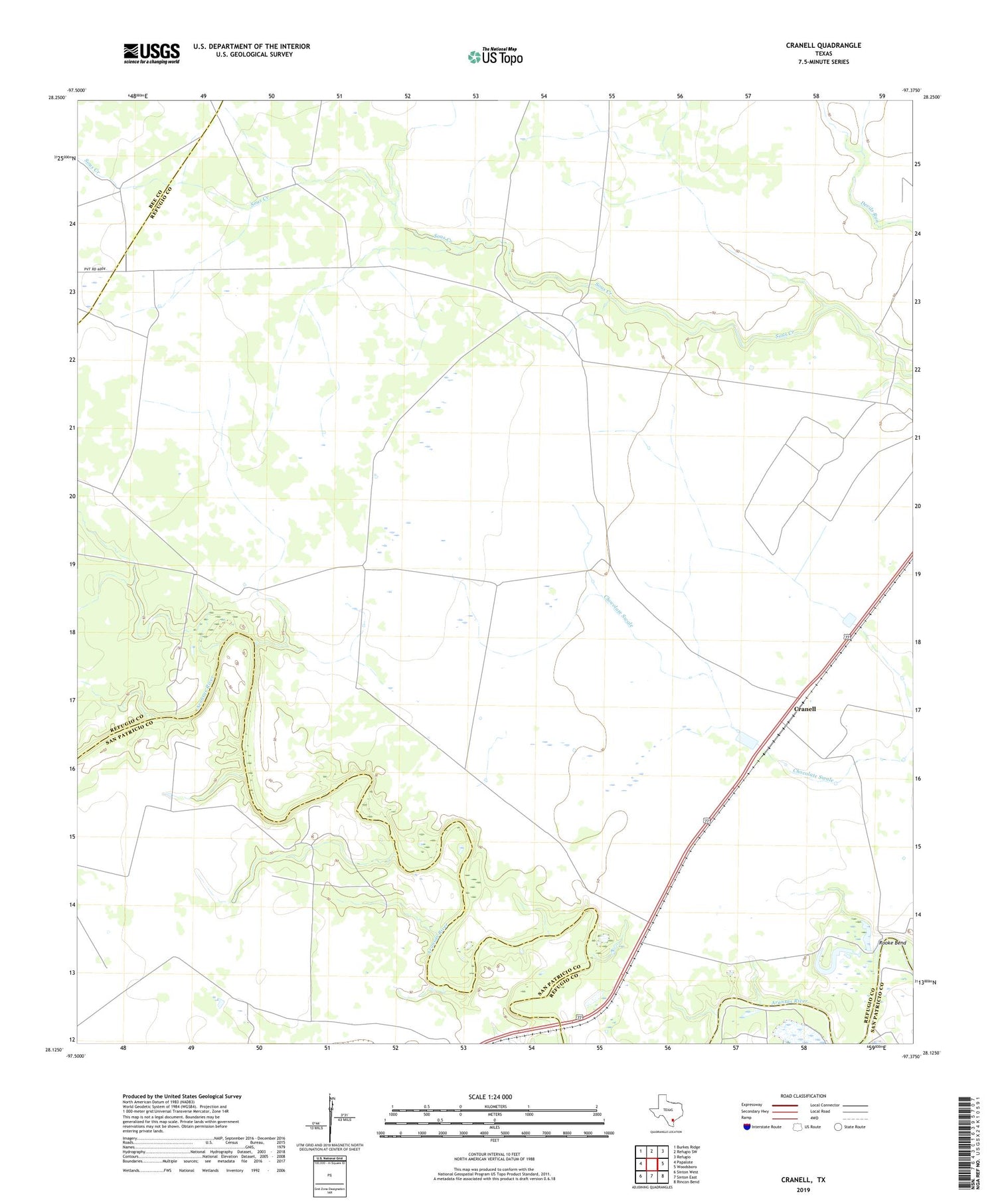
2019 topographic map quadrangle Cranell in the state of Texas. Scale: 1:24000. Based on the newly updated USGS 7.5' US Topo map series, this map is in the following counties: Refugio, San Patricio, Bee. The map contains contour data, water features, and other items you are used to seeing on USGS maps, but also has updated roads and other features. This is the next generation of topographic maps. Printed on high-quality waterproof paper with UV fade-resistant inks.
Quads adjacent to this one:
West: Papalote
Northwest: Burkes Ridge
North: Refugio SW
Northeast: Refugio
East: Woodsboro
Southeast: Rincon Bend
South: Sinton East
Southwest: Sinton West
Contains the following named places: Alders Camp Windmill, Cranell, Encino Oil and Gas Field, Roche Oil and Gas Field, Roche Ranch, Rooke Bend, Rooke Ranch, ZIP Code: 78393


