MyTopo
Crater Ridge Texas US Topo Map
Couldn't load pickup availability
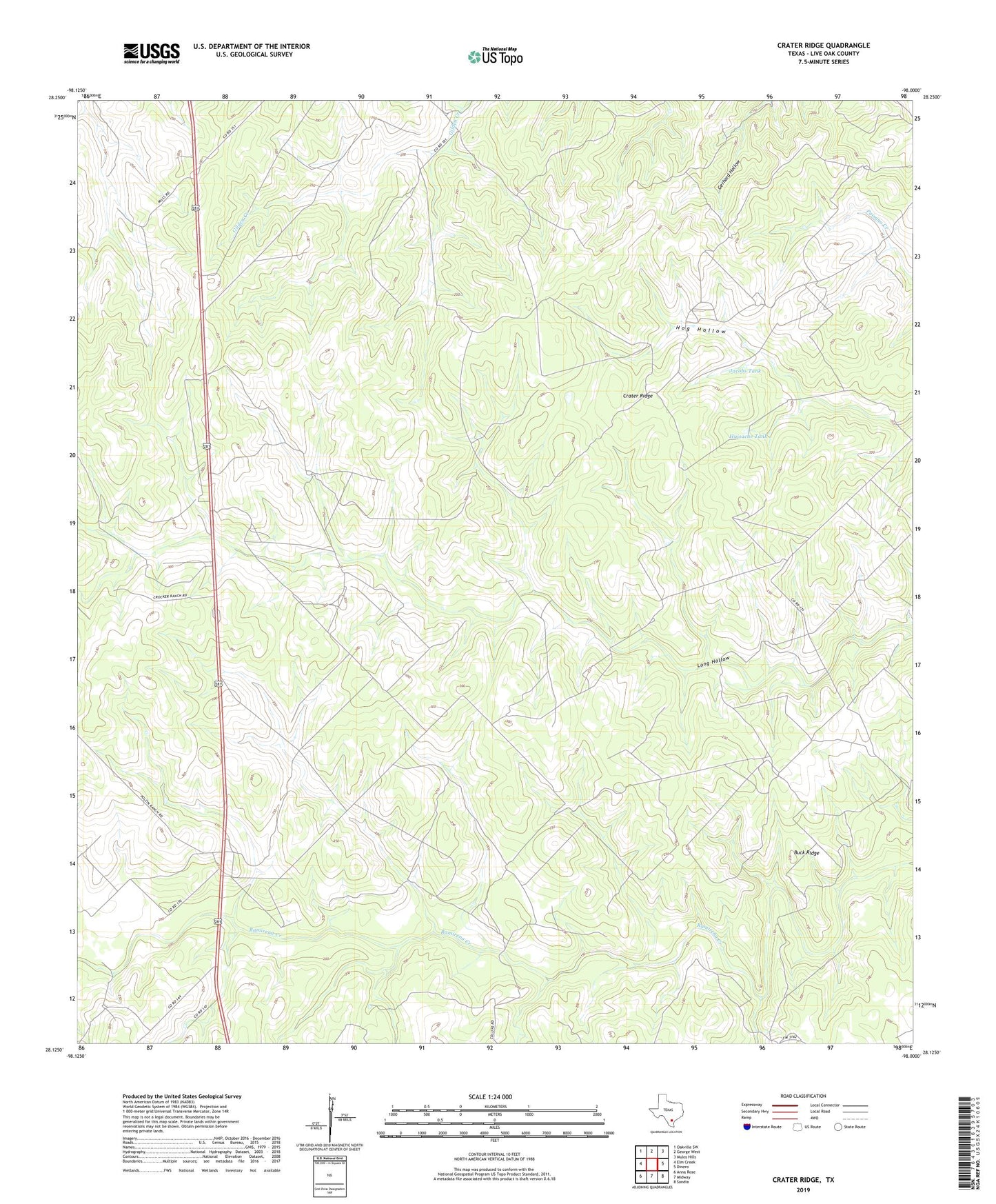
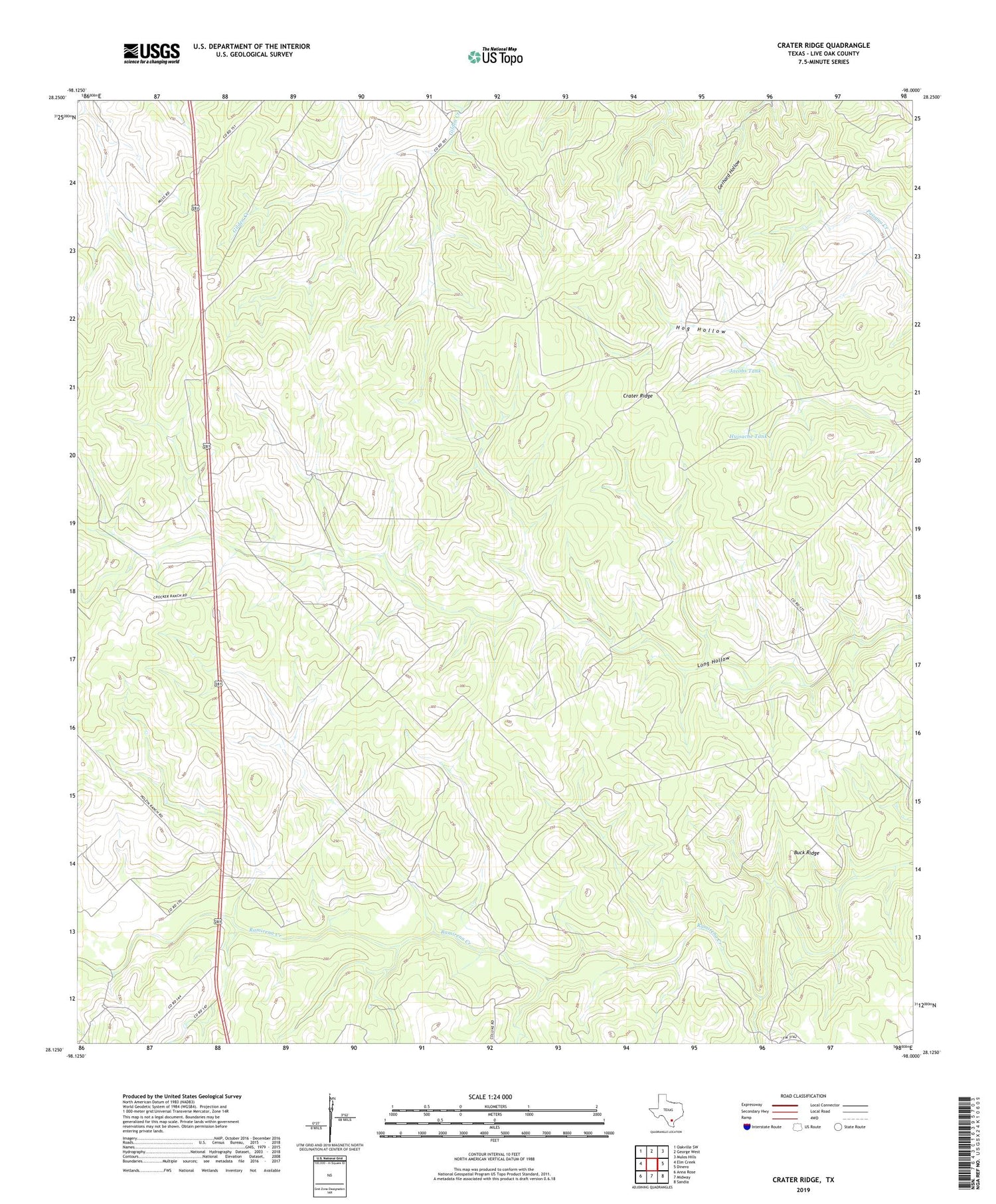
2019 topographic map quadrangle Crater Ridge in the state of Texas. Scale: 1:24000. Based on the newly updated USGS 7.5' US Topo map series, this map is in the following counties: Live Oak. The map contains contour data, water features, and other items you are used to seeing on USGS maps, but also has updated roads and other features. This is the next generation of topographic maps. Printed on high-quality waterproof paper with UV fade-resistant inks.
Quads adjacent to this one:
West: Elm Creek
Northwest: Oakville SW
North: George West
Northeast: Mulos Hills
East: Dinero
Southeast: Sandia
South: Midway
Southwest: Anna Rose
Contains the following named places: Brushy Windmill, Buck Ridge, Burnett Oil and Gas Field, Crater Ridge, George West Division, Hall Ranch Oil Field, Hinnant Oil Field, House Windmill, Huisache Tank, Huisache Windmill, Jacobs Tank, Jacobs Windmill, Javelina Windmill, McNeil Oil Field, McNeil South Oil Field, Old Turkey Windmill, Piasano Oil Field, The Tubs Windmill, Walter Windmill