MyTopo
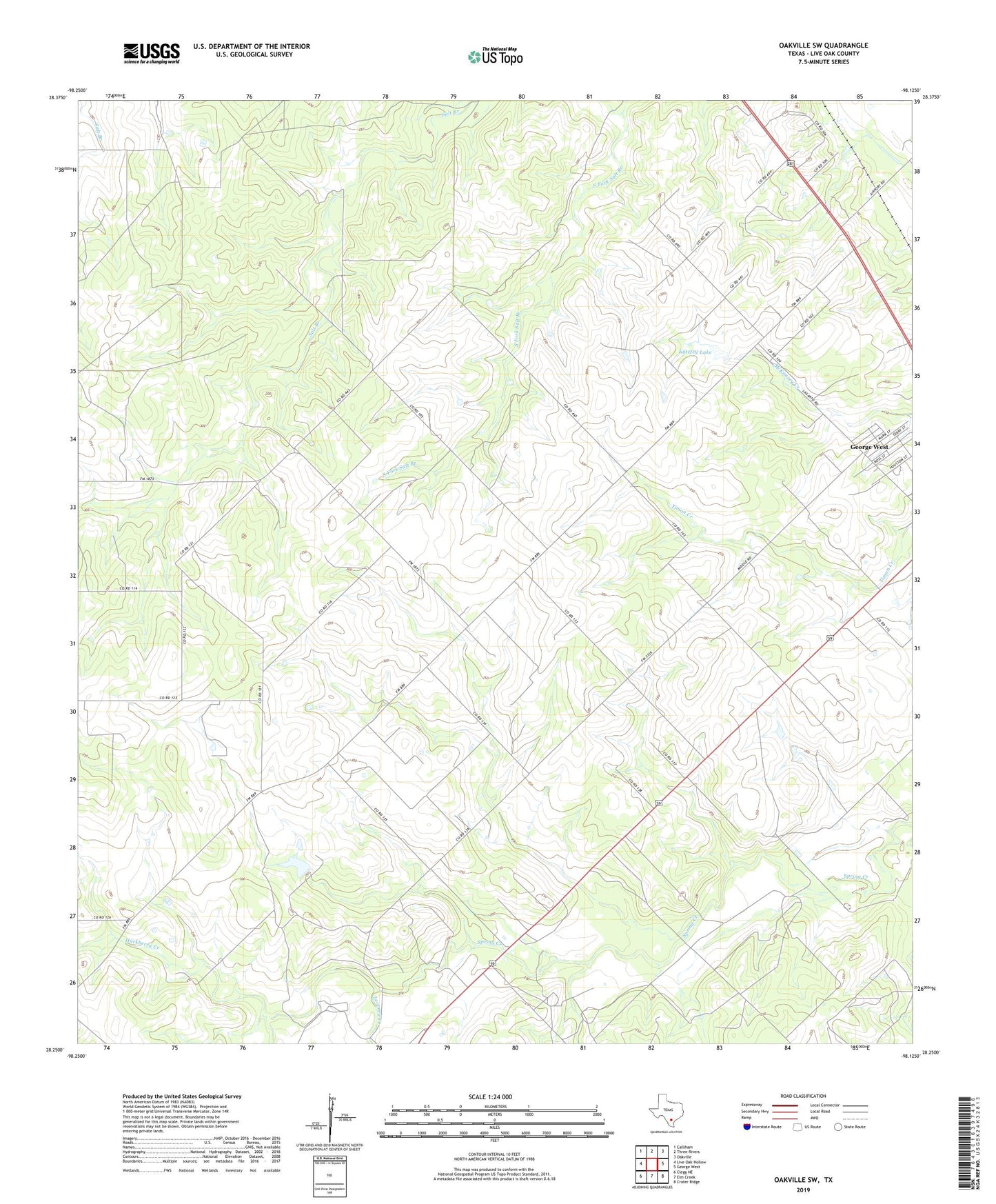
Oakville SW Texas US Topo Map
Couldn't load pickup availability
2022 topographic map quadrangle Oakville SW in the state of Texas. Scale: 1:24000. Based on the newly updated USGS 7.5' US Topo map series, this map is in the following counties: Live Oak. The map contains contour data, water features, and other items you are used to seeing on USGS maps, but also has updated roads and other features. This is the next generation of topographic maps. Printed on high-quality waterproof paper with UV fade-resistant inks.
Quads adjacent to this one:
West: Live Oak Hollow
Northwest: Calliham
North: Three Rivers
Northeast: Oakville
East: George West
Southeast: Crater Ridge
South: Elm Creek
Southwest: Clegg NE
This map covers the same area as the classic USGS quad with code o28098c2.
Contains the following named places: Christensen Oil Field, Clay West Oil Field, Hackberry Creek, Katzfey Lake, Katzfey Lake Dam, Leopard Creek, Maxine East Oil Field, Maxine Oil Field, South Fork Salt Branch, West George West Oil Field, ZIP Code: 78022