MyTopo
Cross Texas US Topo Map
Couldn't load pickup availability
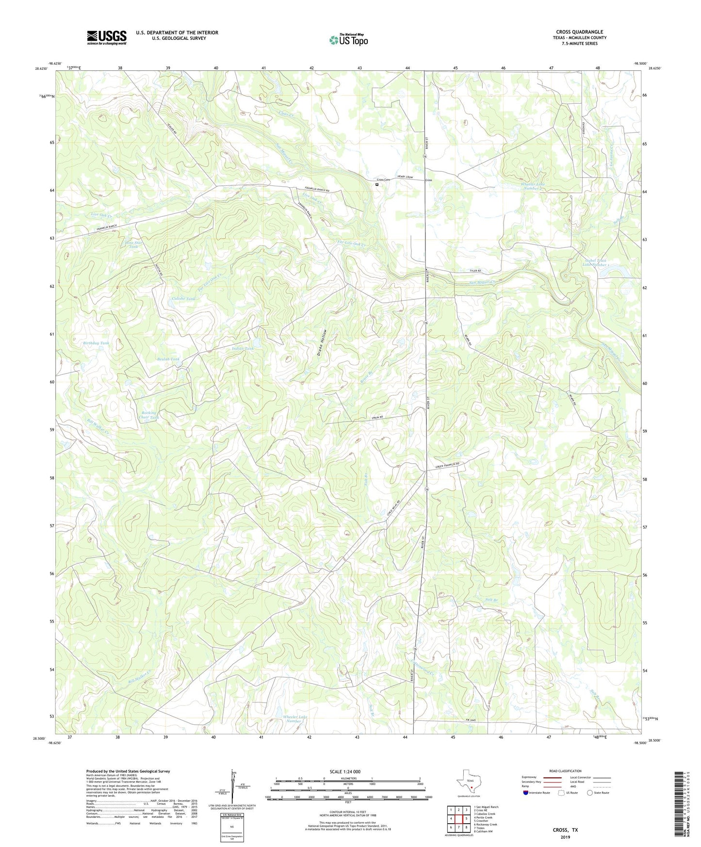
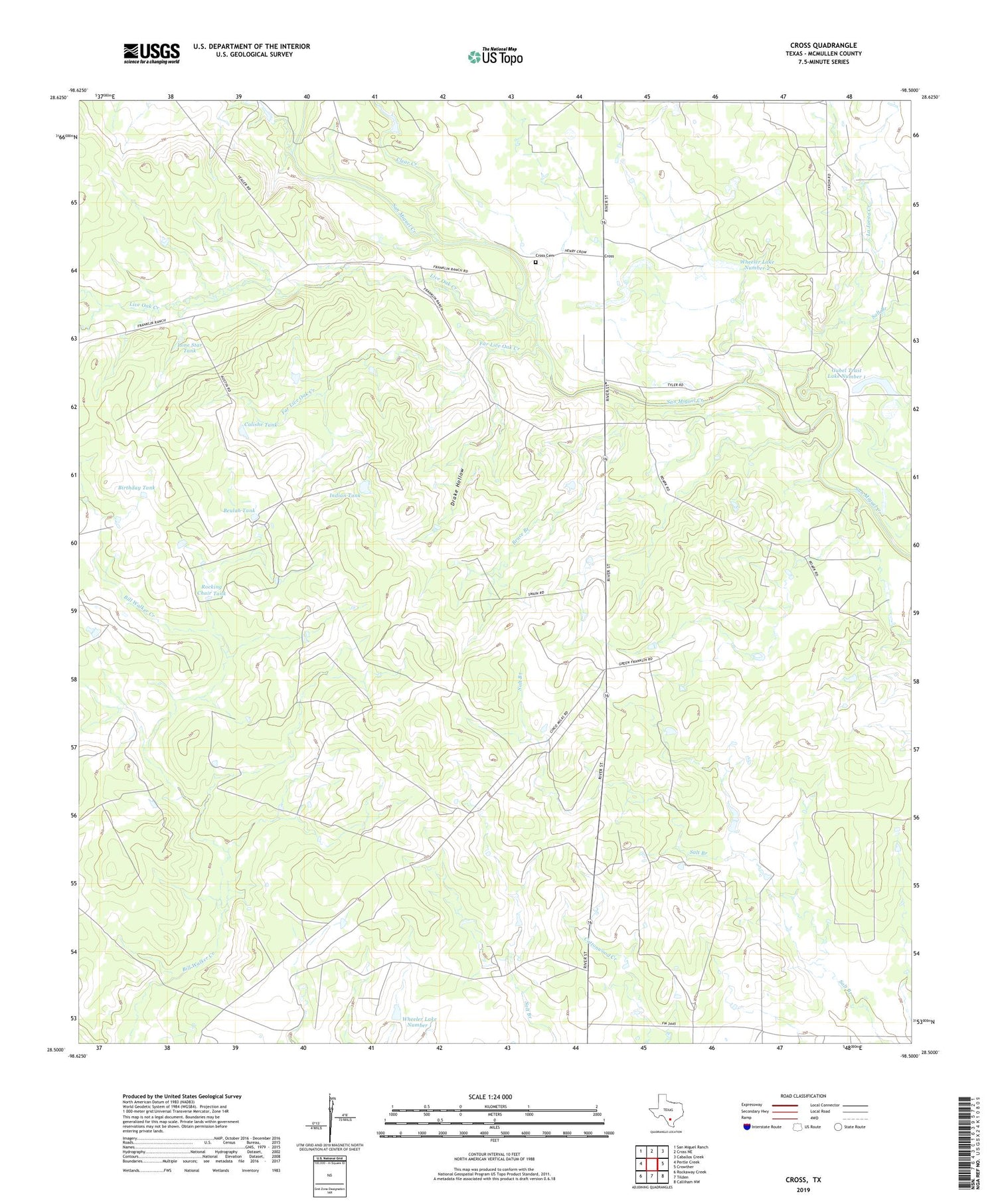
2019 topographic map quadrangle Cross in the state of Texas. Scale: 1:24000. Based on the newly updated USGS 7.5' US Topo map series, this map is in the following counties: McMullen. The map contains contour data, water features, and other items you are used to seeing on USGS maps, but also has updated roads and other features. This is the next generation of topographic maps. Printed on high-quality waterproof paper with UV fade-resistant inks.
Quads adjacent to this one:
West: Pertle Creek
Northwest: San Miguel Ranch
North: Cross NE
Northeast: Caballos Creek
East: Crowther
Southeast: Calliham NW
South: Tilden
Southwest: Rockaway Creek
Contains the following named places: Beulah Tank, Beulah Tank Dam, Birthday Tank, Bruce Branch, Calishe Tank, Clear Creek, Cross, Cross Cemetery, Drake Hollow, Far Live Oak Creek, Franklin Ranch, Gubel Trust Lake Number 1, Gubel Trust Lake Number 1 Dam, Indian Tank, Indian Tank Dam, Kamp Lake, Kamp Lake Dam, La Jarita Creek, Live Oak Creek, Lone Star Tank, Rocking Chair Tank, Rocking Chair Tank Dam, Salt Branch, Wheeler Lake Number 1, Wheeler Lake Number 1 Dam, Wheeler Lake Number 2, Wheeler Lake Number 2 Dam