
MyTopo
Cuesta Del Burro West Texas US Topo Map
Couldn't load pickup availability
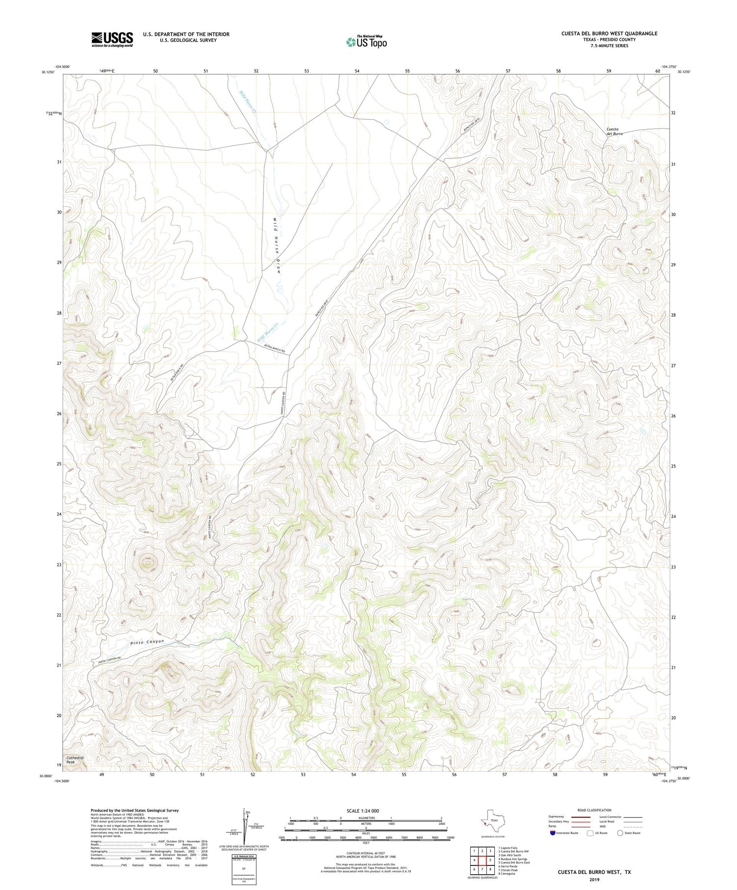
2019 topographic map quadrangle Cuesta Del Burro West in the state of Texas. Scale: 1:24000. Based on the newly updated USGS 7.5' US Topo map series, this map is in the following counties: Presidio. The map contains contour data, water features, and other items you are used to seeing on USGS maps, but also has updated roads and other features. This is the next generation of topographic maps. Printed on high-quality waterproof paper with UV fade-resistant inks.
Quads adjacent to this one:
West: Ruidosa Hot Springs
Northwest: Capote Falls
North: Cuesta Del Burro NW
Northeast: Oak Hills South
East: Cuesta Del Burro East
Southeast: Cieneguita
South: Chinati Peak
Southwest: Sierra Parda
Contains the following named places: Cathedral Peak, Cuesta del Burro


