MyTopo
Sierra Parda Texas US Topo Map
Couldn't load pickup availability
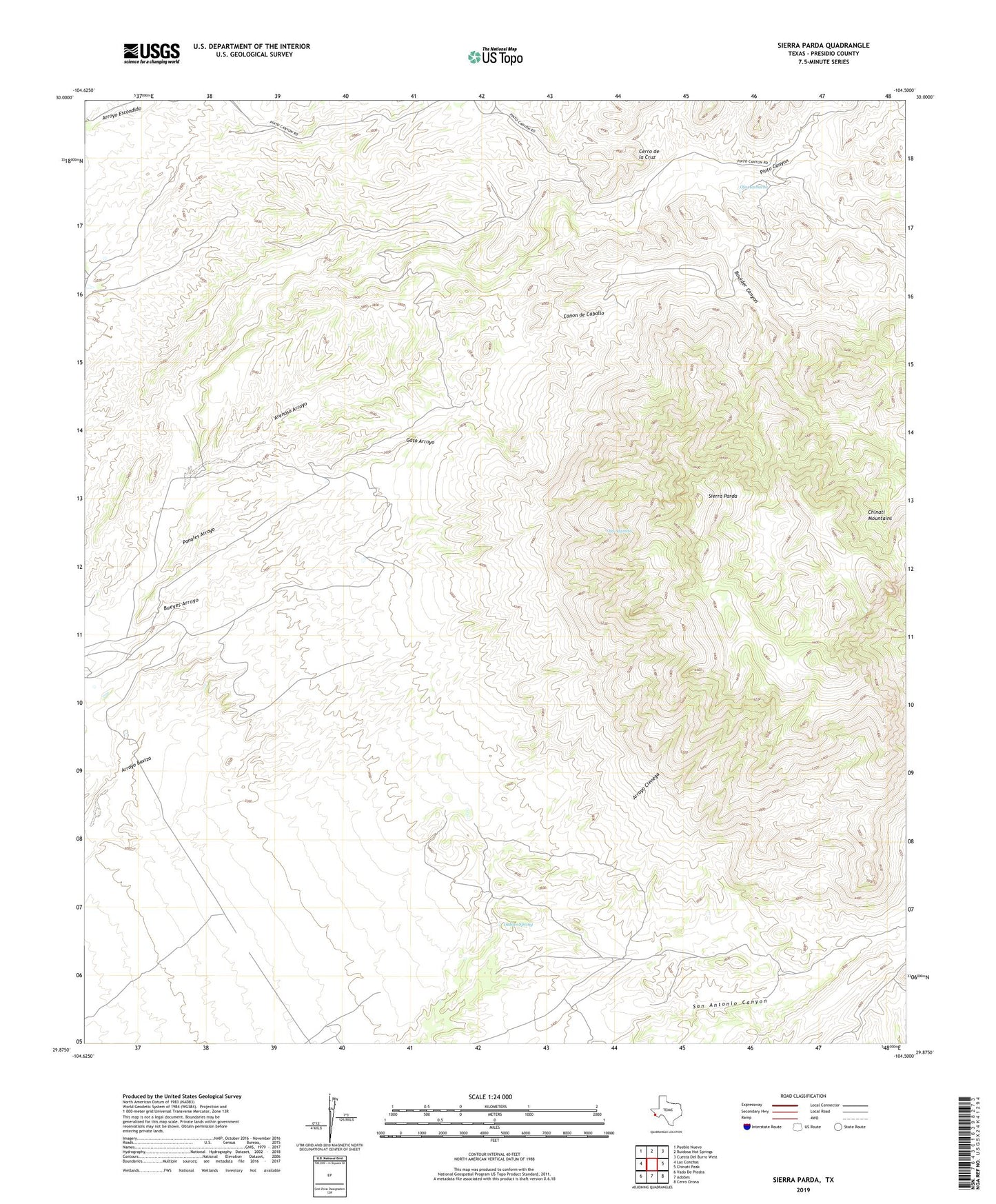
2022 topographic map quadrangle Sierra Parda in the state of Texas. Scale: 1:24000. Based on the newly updated USGS 7.5' US Topo map series, this map is in the following counties: Presidio. The map contains contour data, water features, and other items you are used to seeing on USGS maps, but also has updated roads and other features. This is the next generation of topographic maps. Printed on high-quality waterproof paper with UV fade-resistant inks.
Quads adjacent to this one:
West: Las Conchas
Northwest: Pueblo Nuevo
North: Ruidosa Hot Springs
Northeast: Cuesta Del Burro West
East: Chinati Peak
Southeast: Cerro Orona
South: Adobes
Southwest: Vado De Piedra
This map covers the same area as the classic USGS quad with code o29104h5.
Contains the following named places: Arenoso Arroyo, Boulder Canyon, Bueyes Arroyo, Burney Mine, Canon de Caballo, Cerro de la Cruz, Chinati Mountains State Natural Area, Gato Arroyo, Indian Spring, Nunez Ranch, Ojo Acebuche, Ojo Alamito, Panales Arroyo, Sierra Parda, ZIP Code: 79845