MyTopo
Divot Texas US Topo Map
Couldn't load pickup availability
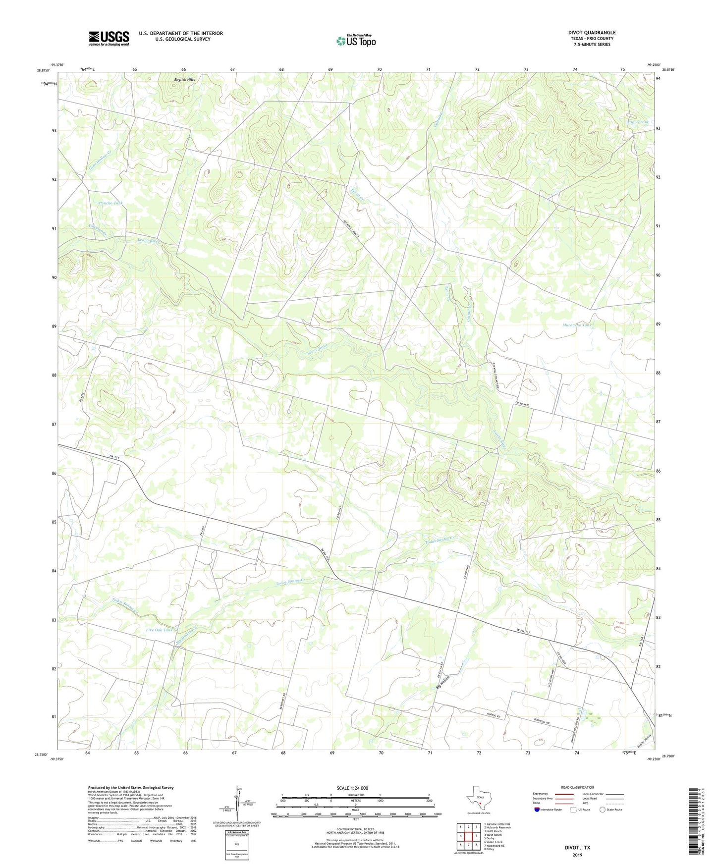
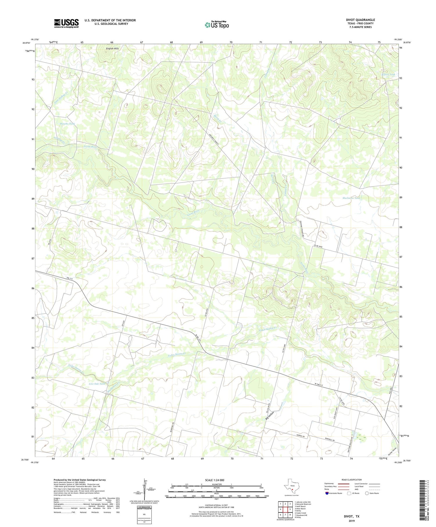
2019 topographic map quadrangle Divot in the state of Texas. Scale: 1:24000. Based on the newly updated USGS 7.5' US Topo map series, this map is in the following counties: Frio. The map contains contour data, water features, and other items you are used to seeing on USGS maps, but also has updated roads and other features. This is the next generation of topographic maps. Printed on high-quality waterproof paper with UV fade-resistant inks.
Quads adjacent to this one:
West: West Ranch
Northwest: Johnnie Little Hill
North: Holcomb Reservoir
Northeast: Halff Ranch
East: Derby
Southeast: Dilley
South: Woodward NE
Southwest: Snake Creek
Contains the following named places: Arrowhead Windmill, Berry Creek, Berry Creek Windmill, Big Hollow, Big Hollow Creek, Cattail Creek, Cattail Windmill, Chivo Tank, Crawford Windmill, Divot, Gillman Windmill, Goat Hollow Creek, Live Oak Tank, Martha Windmill, Muchacho Tank, Pancho Tank, Parks Corner Windmill, Sally Windmill, Yoledigo Creek