MyTopo
Dunn Texas US Topo Map
Couldn't load pickup availability
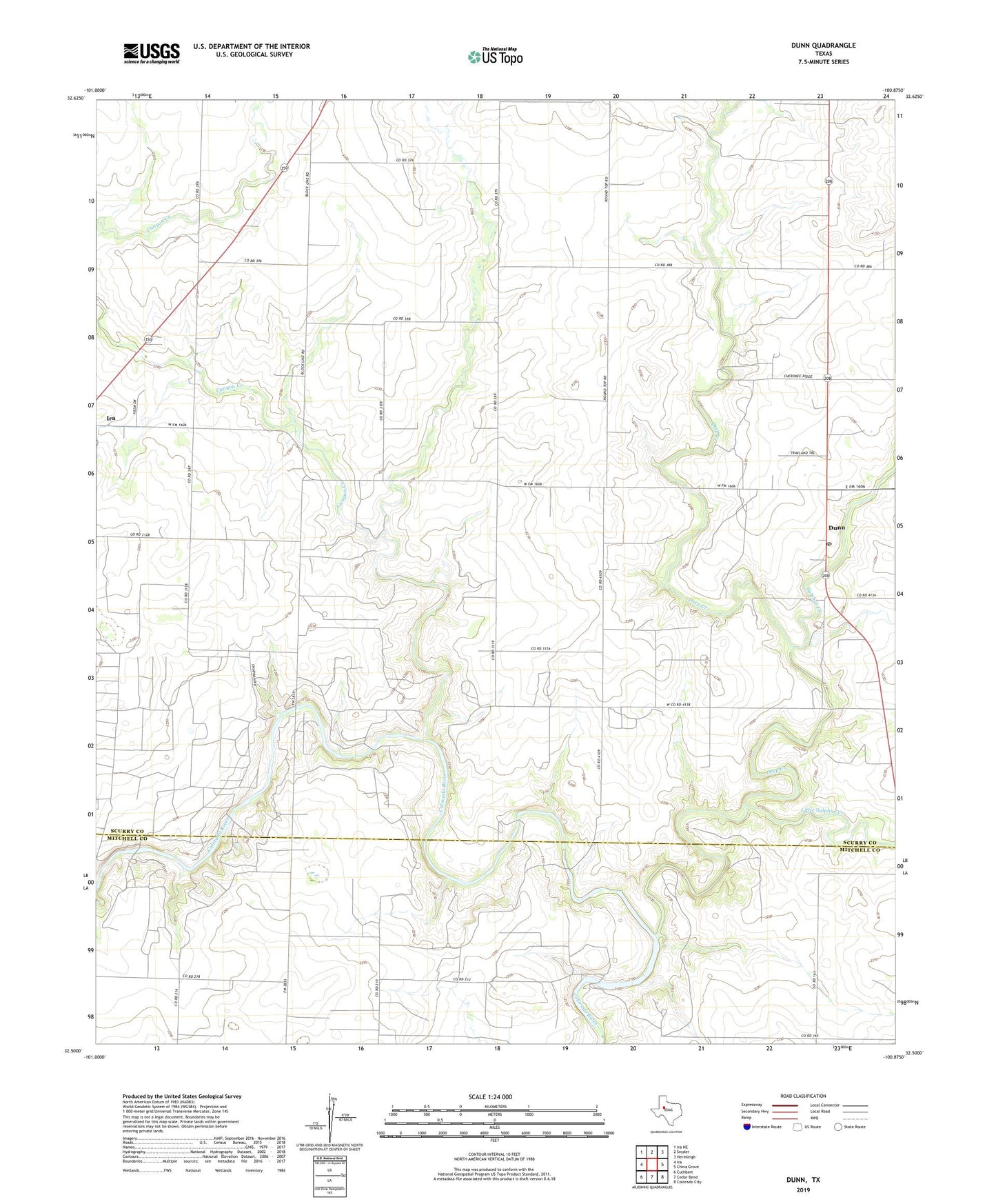
2022 topographic map quadrangle Dunn in the state of Texas. Scale: 1:24000. Based on the newly updated USGS 7.5' US Topo map series, this map is in the following counties: Scurry, Mitchell. The map contains contour data, water features, and other items you are used to seeing on USGS maps, but also has updated roads and other features. This is the next generation of topographic maps. Printed on high-quality waterproof paper with UV fade-resistant inks.
Quads adjacent to this one:
West: Ira
Northwest: Ira NE
North: Snyder
Northeast: Hermleigh
East: China Grove
Southeast: Colorado City
South: Cedar Bend
Southwest: Cuthbert
This map covers the same area as the classic USGS quad with code o32100e8.
Contains the following named places: Canyon Creek, Deep Creek, Dunn, Dunn Post Office, Little Sulphur Creek, Sharon Ridge Oil Field, Sulphur Creek