MyTopo
East Hunter Canyon Texas US Topo Map
Couldn't load pickup availability
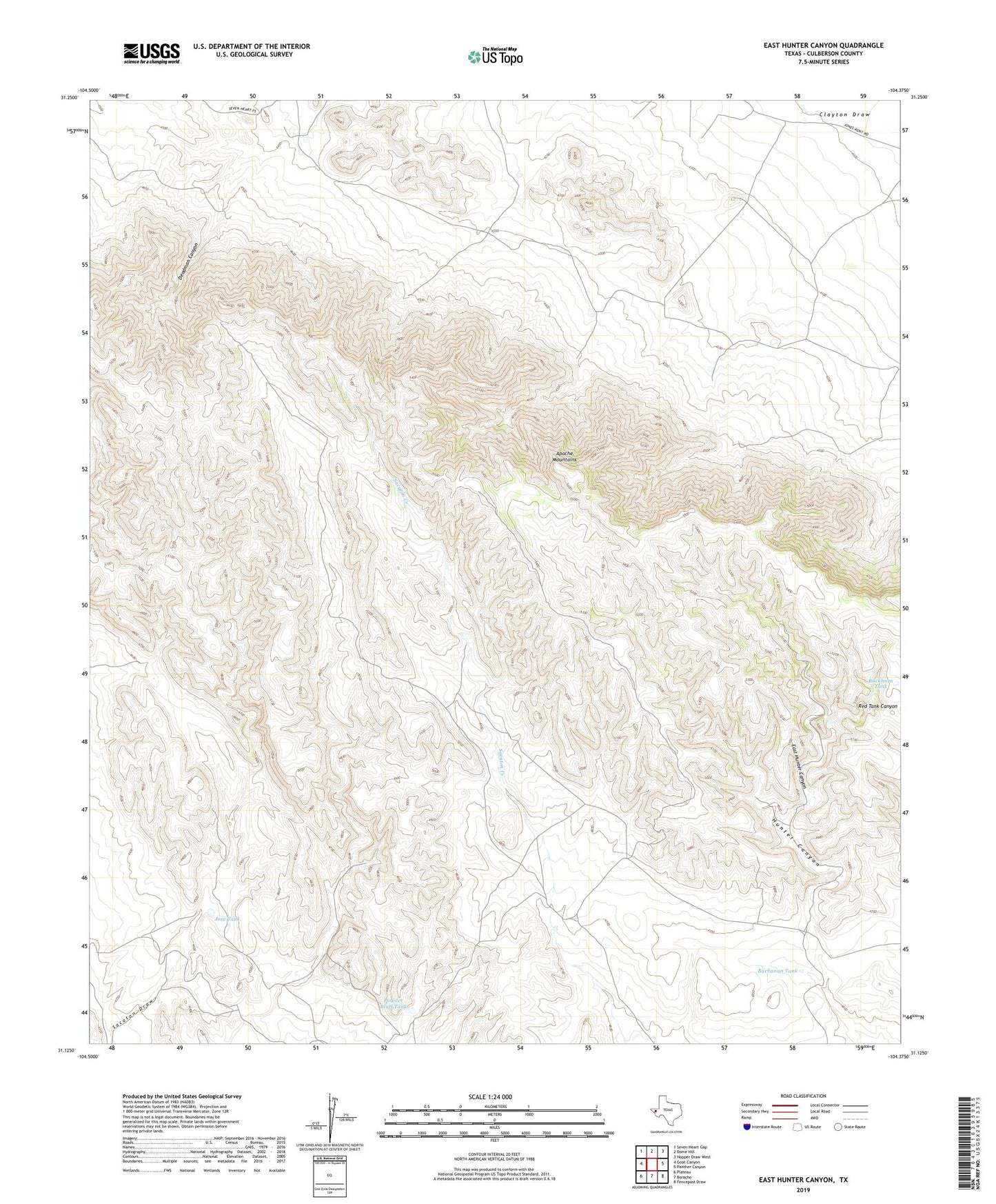
2019 topographic map quadrangle East Hunter Canyon in the state of Texas. Scale: 1:24000. Based on the newly updated USGS 7.5' US Topo map series, this map is in the following counties: Culberson. The map contains contour data, water features, and other items you are used to seeing on USGS maps, but also has updated roads and other features. This is the next generation of topographic maps. Printed on high-quality waterproof paper with UV fade-resistant inks.
Quads adjacent to this one:
West: Goat Canyon
Northwest: Seven Heart Gap
North: Dome Hill
Northeast: Hopper Draw West
East: Panther Canyon
Southeast: Fencepost Draw
South: Boracho
Southwest: Plateau
Contains the following named places: Alto Tank, Buchanan Tank, Buckhorn Tank, Deadman Canyon, East Hunter Canyon, Gentry Ranch, Horseshoe Tank, Jose Tank, Number Four Tank, Powder Bluff Tank