MyTopo
Boracho Texas US Topo Map
Couldn't load pickup availability
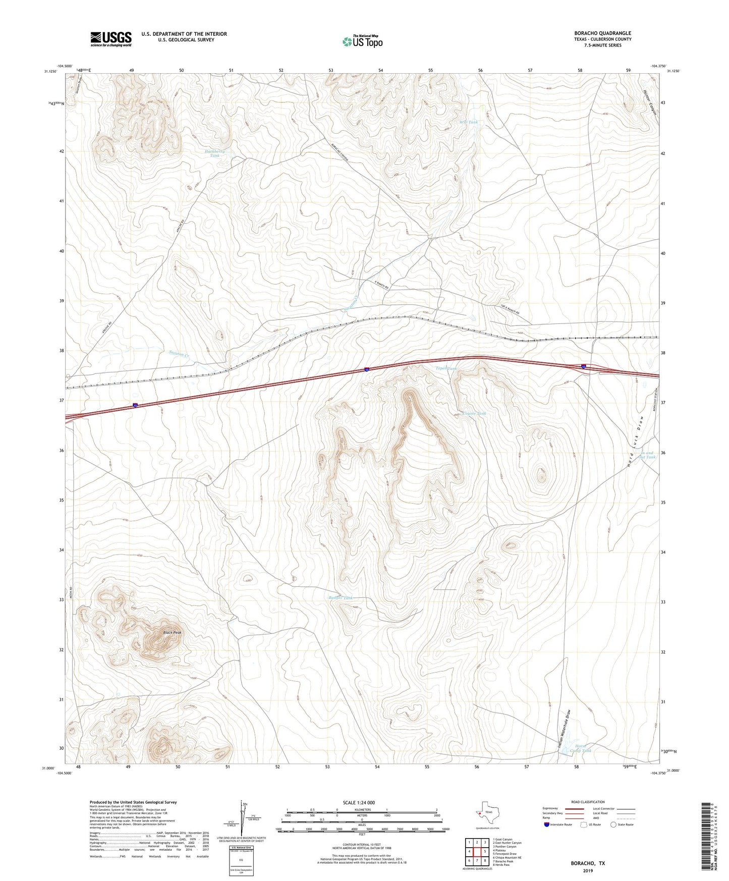
2022 topographic map quadrangle Boracho in the state of Texas. Scale: 1:24000. Based on the newly updated USGS 7.5' US Topo map series, this map is in the following counties: Culberson. The map contains contour data, water features, and other items you are used to seeing on USGS maps, but also has updated roads and other features. This is the next generation of topographic maps. Printed on high-quality waterproof paper with UV fade-resistant inks.
Quads adjacent to this one:
West: Plateau
Northwest: Goat Canyon
North: East Hunter Canyon
Northeast: Panther Canyon
East: Fencepost Draw
Southeast: Herds Pass
South: Boracho Peak
Southwest: Chispa Mountain NE
This map covers the same area as the classic USGS quad with code o31104a4.
Contains the following named places: Badger Tank, Black Peak, Boracho, Boracho Cemetery, Coyote Tank, Deep Well Windmill, Hackberry Tank, Horse Camp Tank, Horse Camp Tank Dam, In and Out Tank, Sacaton Creek, Stewart Windmill, Tepee Tank, W D Tank