MyTopo
East Mesa SW Texas US Topo Map
Couldn't load pickup availability
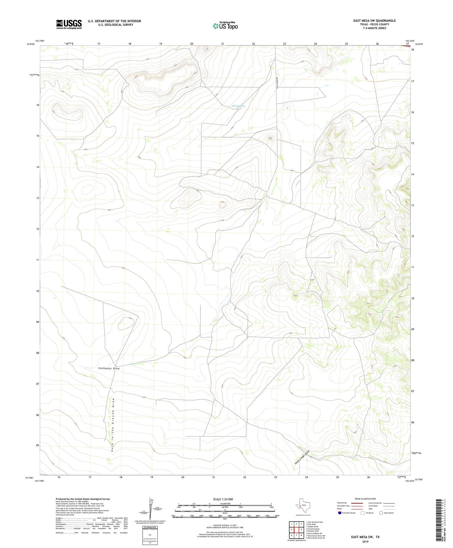
2019 topographic map quadrangle East Mesa SW in the state of Texas. Scale: 1:24000. Based on the newly updated USGS 7.5' US Topo map series, this map is in the following counties: Pecos. The map contains contour data, water features, and other items you are used to seeing on USGS maps, but also has updated roads and other features. This is the next generation of topographic maps. Printed on high-quality waterproof paper with UV fade-resistant inks.
Quads adjacent to this one:
West: Fivemile Mesa
Northwest: Fort Stockton East
North: East Mesa
Northeast: Saddle Butte
East: Panther Bluff
Southeast: Rock House Draw NE
South: Rock House Draw NW
Southwest: Sierra Madera NE
Contains the following named places: Buck Trap Windmill, Bull Trap Windmill, Five Section Windmill, High Windmill, Hole in the Ground Draw, Horse Pasture Windmill, Ike Windmill, New Well, Pecos County, Pipeline Windmill, South Linger Windmill, South Six Windmill, Three Section Windmill, White Tank