MyTopo
El Campo SE Texas US Topo Map
Couldn't load pickup availability
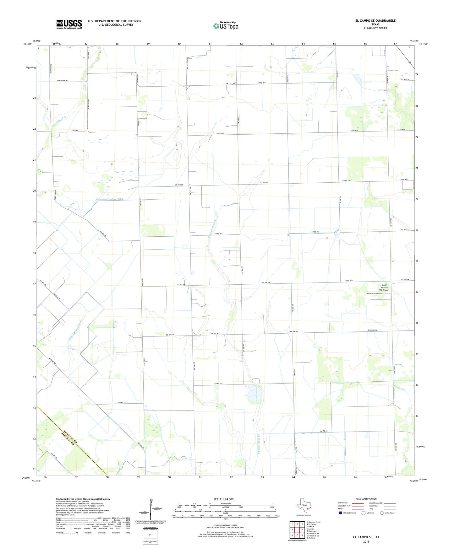
2022 topographic map quadrangle El Campo SE in the state of Texas. Scale: 1:24000. Based on the newly updated USGS 7.5' US Topo map series, this map is in the following counties: Wharton, Jackson. The map contains contour data, water features, and other items you are used to seeing on USGS maps, but also has updated roads and other features. This is the next generation of topographic maps. Printed on high-quality waterproof paper with UV fade-resistant inks.
Quads adjacent to this one:
West: Louise
Northwest: Gobbler Creek
North: El Campo
Northeast: Pierce
East: Danevang
Southeast: Midfield
South: Francitas NE
Southwest: Francitas NW
This map covers the same area as the classic USGS quad with code o29096a3.
Contains the following named places: Hillje Oil Field, Plainview, Plainview Outflow Ditch, Radio Astronomical Observatory, Smith Aviation Inc Airport