MyTopo
Frelsburg Texas US Topo Map
Couldn't load pickup availability
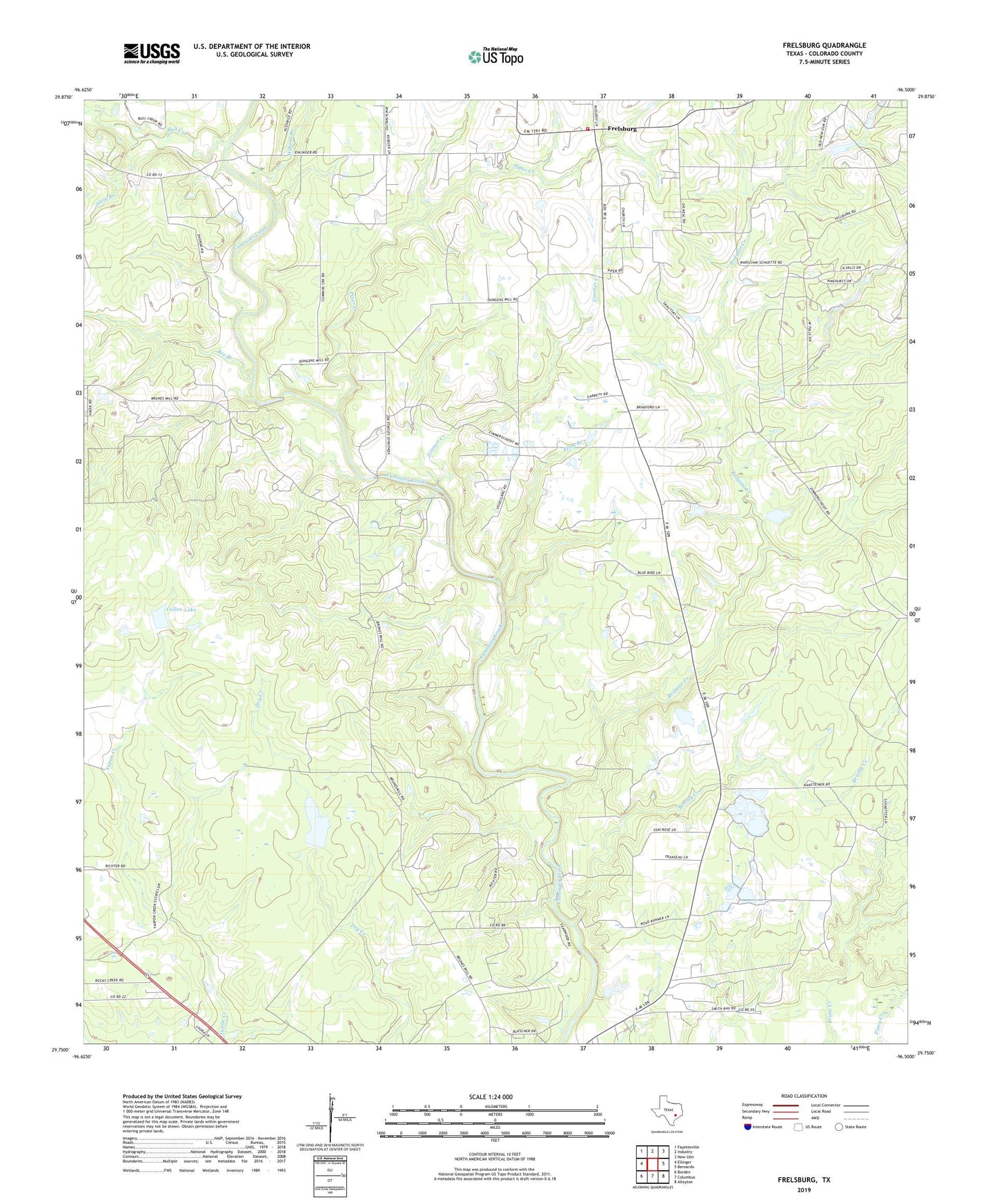
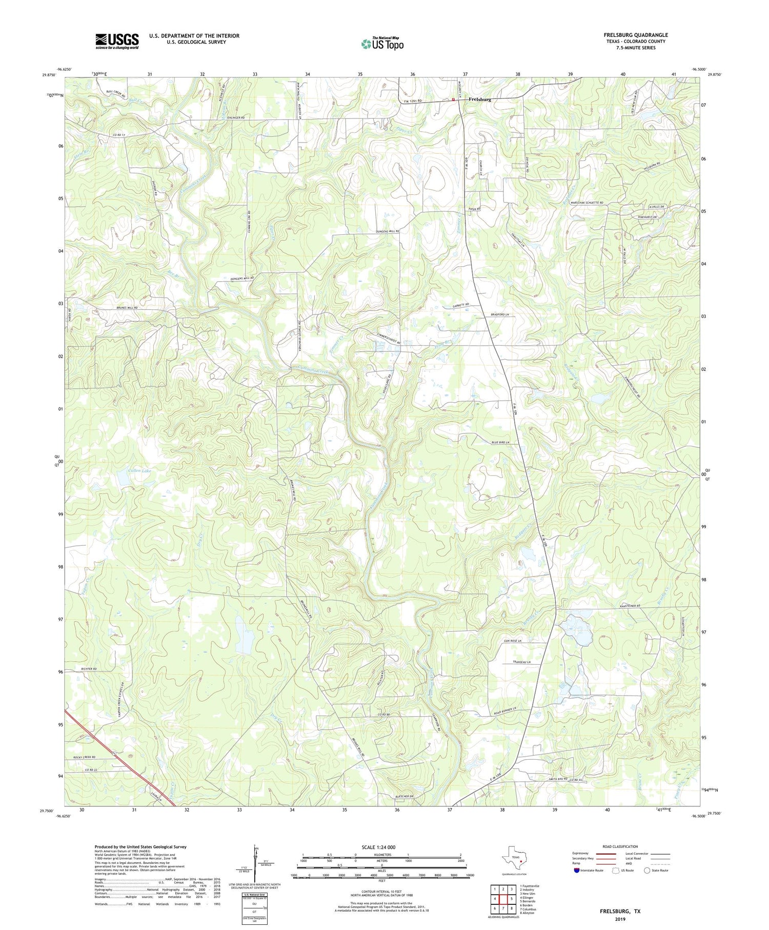
2019 topographic map quadrangle Frelsburg in the state of Texas. Scale: 1:24000. Based on the newly updated USGS 7.5' US Topo map series, this map is in the following counties: Colorado. The map contains contour data, water features, and other items you are used to seeing on USGS maps, but also has updated roads and other features. This is the next generation of topographic maps. Printed on high-quality waterproof paper with UV fade-resistant inks.
Quads adjacent to this one:
West: Ellinger
Northwest: Fayetteville
North: Industry
Northeast: New Ulm
East: Bernardo
Southeast: Alleyton
South: Columbus
Southwest: Borden
Contains the following named places: Balch Springs Public Library, Bee Branch, Brushy Creek, Bull Creek, Circle M Ranch Airport, Columbus Division, Cullen Lake, Cullen Lake Dam, Frelsburg, Frelsburg Oil Field, Frelsburg Volunteer Fire Department, Gabriel Long Branch, Hobson Branch, Kleberg - Rylie Branch Library, Piper Creek, Plum Branch, Redgate Creek, Saint Peter and Paul School, Stein Branch, Zimmer Creek, Zimmerscheidt Community Center, Zimmerscheidt-Leyendecker House