MyTopo
New Ulm Texas US Topo Map
Couldn't load pickup availability
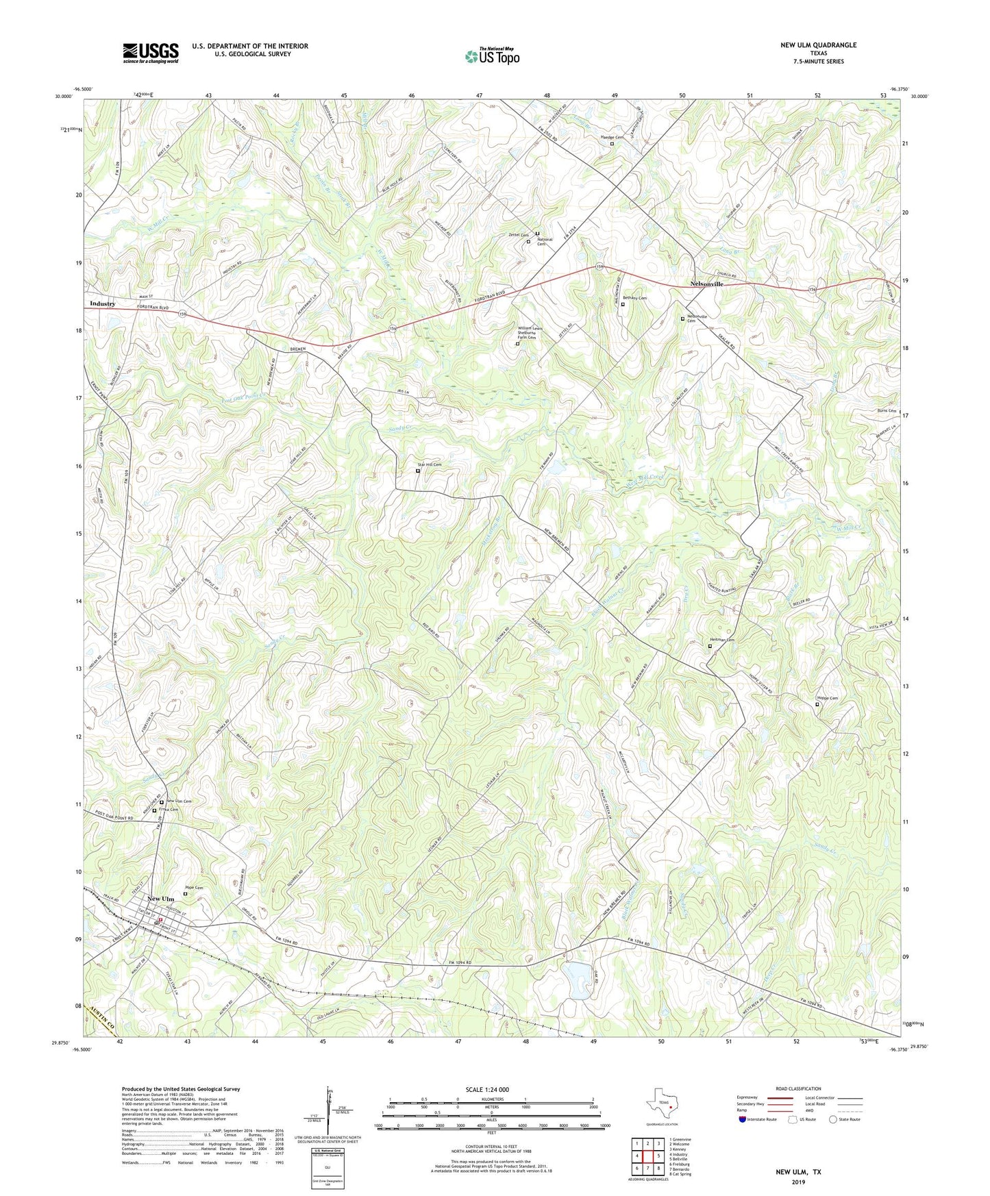
2022 topographic map quadrangle New Ulm in the state of Texas. Scale: 1:24000. Based on the newly updated USGS 7.5' US Topo map series, this map is in the following counties: Austin, Colorado. The map contains contour data, water features, and other items you are used to seeing on USGS maps, but also has updated roads and other features. This is the next generation of topographic maps. Printed on high-quality waterproof paper with UV fade-resistant inks.
Quads adjacent to this one:
West: Industry
Northwest: Greenvine
North: Welcome
Northeast: Kenney
East: Bellville
Southeast: Cat Spring
South: Bernardo
Southwest: Frelsburg
This map covers the same area as the classic USGS quad with code o29096h4.
Contains the following named places: Bethany Cemetery, Black Branch, Black Walnut Creek, Butler Dam, Butler Lake, City of Industry, Deep Creek, Dry Creek, Frnka Cemetery, Gulf, Haedge Cemetery, Heitman Family Cemetery, Hoppe Cemetery, Industry Division, Long Branch, Meckelroy Branch, Mill Branch, National Cemetery, Nelsonville, Nelsonville Cemetery, New Bremen, New Ulm, New Ulm Cemetery, New Ulm Census Designated Place, New Ulm Oil Field, New Ulm Post Office, New Ulm Volunteer Fire Department, Pastoren Creek, Pecan Branch, Pope Cemetery, Post Oak Point Creek, Rocky Branch, Roesler House, Sandy Creek, Star Hill Cemetery, Stink Branch, William Shelburne Cemetery, Zettel Cemetery, ZIP Code: 78950