MyTopo
Frog Mountain Texas US Topo Map
Couldn't load pickup availability
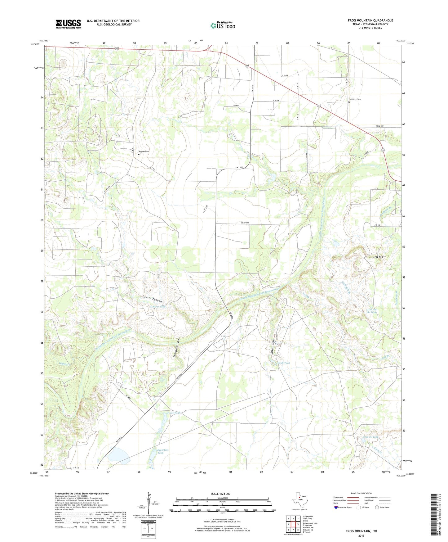
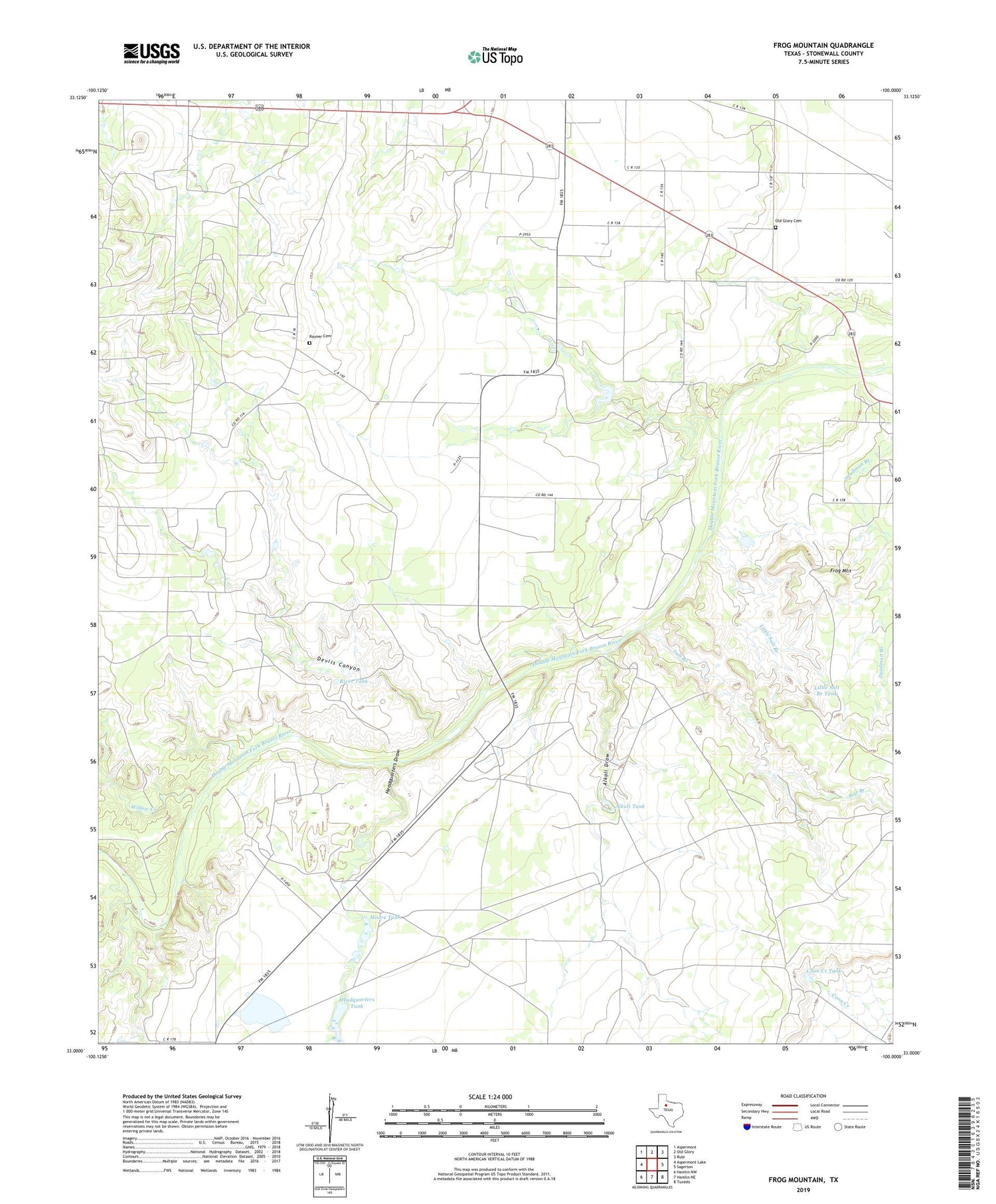
2019 topographic map quadrangle Frog Mountain in the state of Texas. Scale: 1:24000. Based on the newly updated USGS 7.5' US Topo map series, this map is in the following counties: Stonewall. The map contains contour data, water features, and other items you are used to seeing on USGS maps, but also has updated roads and other features. This is the next generation of topographic maps. Printed on high-quality waterproof paper with UV fade-resistant inks.
Quads adjacent to this one:
West: Aspermont Lake
Northwest: Aspermont
North: Old Glory
Northeast: Rule
East: Sagerton
Southeast: Tuxedo
South: Hamlin NE
Southwest: Hamlin NW
Contains the following named places: Alkali Draw, Alkali Tank, Alkali Windmill, Coon Creek Tank, Devils Canyon, Flat Top, Frog Mountain, Gruyer Windmill, Hale Family Cemetery, Headquarters Draw, Headquarters Tank, Headquarters Windmill, Letz Oil Field, Little Salt Branch, Little Salt Branch Tank, Moore Tank, Murdock Windmill, North Mountain Windmill, Old Glory Cemetery, Rayner Cemetery, River Tank, Salt Branch, Salt Branch Windmill, Willow Creek