MyTopo
Aspermont Texas US Topo Map
Couldn't load pickup availability
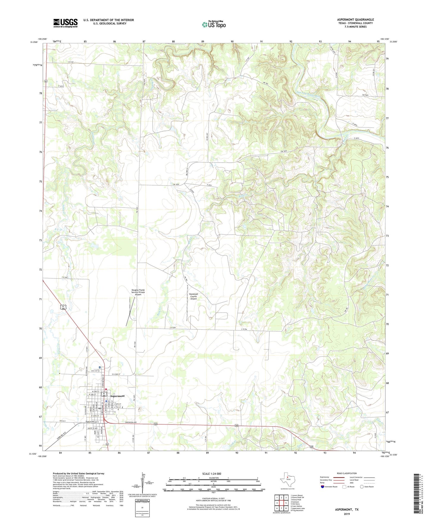
2022 topographic map quadrangle Aspermont in the state of Texas. Scale: 1:24000. Based on the newly updated USGS 7.5' US Topo map series, this map is in the following counties: Stonewall. The map contains contour data, water features, and other items you are used to seeing on USGS maps, but also has updated roads and other features. This is the next generation of topographic maps. Printed on high-quality waterproof paper with UV fade-resistant inks.
Quads adjacent to this one:
West: Swenson
Northwest: Lovers Resort
North: Kiowa Peak SW
Northeast: Kiowa Peak
East: Old Glory
Southeast: Frog Mountain
South: Aspermont Lake
Southwest: Coon Hollow
This map covers the same area as the classic USGS quad with code o33100b2.
Contains the following named places: Aspermont, Aspermont City Hall, Aspermont Post Office, Boyd Oil Field, Douglas Flying Service Private Airport, K U Creek, Rock Creek, Stonewall County Airport, Stonewall County Jail, Stonewall County Sheriff's Office, Stonewall County Volunteer Fire Department, Stonewall Memorial Hospital, Town of Aspermont, Turtle Creek, ZIP Code: 79502