MyTopo
Aspermont Lake Texas US Topo Map
Couldn't load pickup availability
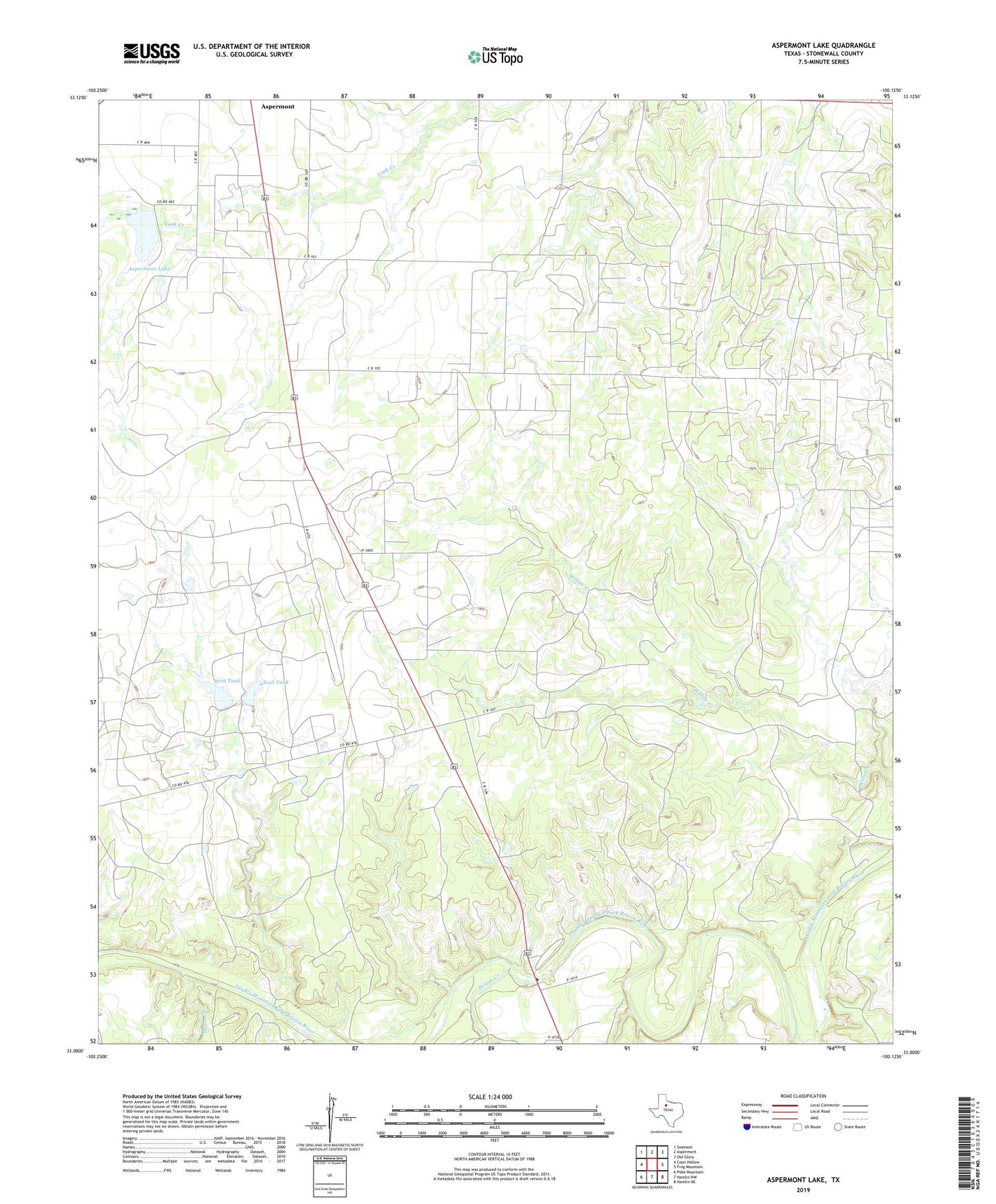
2022 topographic map quadrangle Aspermont Lake in the state of Texas. Scale: 1:24000. Based on the newly updated USGS 7.5' US Topo map series, this map is in the following counties: Stonewall. The map contains contour data, water features, and other items you are used to seeing on USGS maps, but also has updated roads and other features. This is the next generation of topographic maps. Printed on high-quality waterproof paper with UV fade-resistant inks.
Quads adjacent to this one:
West: Coon Hollow
Northwest: Swenson
North: Aspermont
Northeast: Old Glory
East: Frog Mountain
Southeast: Hamlin NE
South: Hamlin NW
Southwest: Poke Mountain
This map covers the same area as the classic USGS quad with code o33100a2.
Contains the following named places: Aspermont Lake, Aspermont Lake Oil Field, City of Aspermont Lake, City of Aspermont Lake Dam, East Tank, Frankirk Oil Field, Fred Martin East Tank Dam, Fred Martin West Tank Dam, Guest Flowers Oil Field, Hitson Creek, Moore Creek, Rath City Boot Hill Cemetery, West Tank