MyTopo
Gonzales South Texas US Topo Map
Couldn't load pickup availability
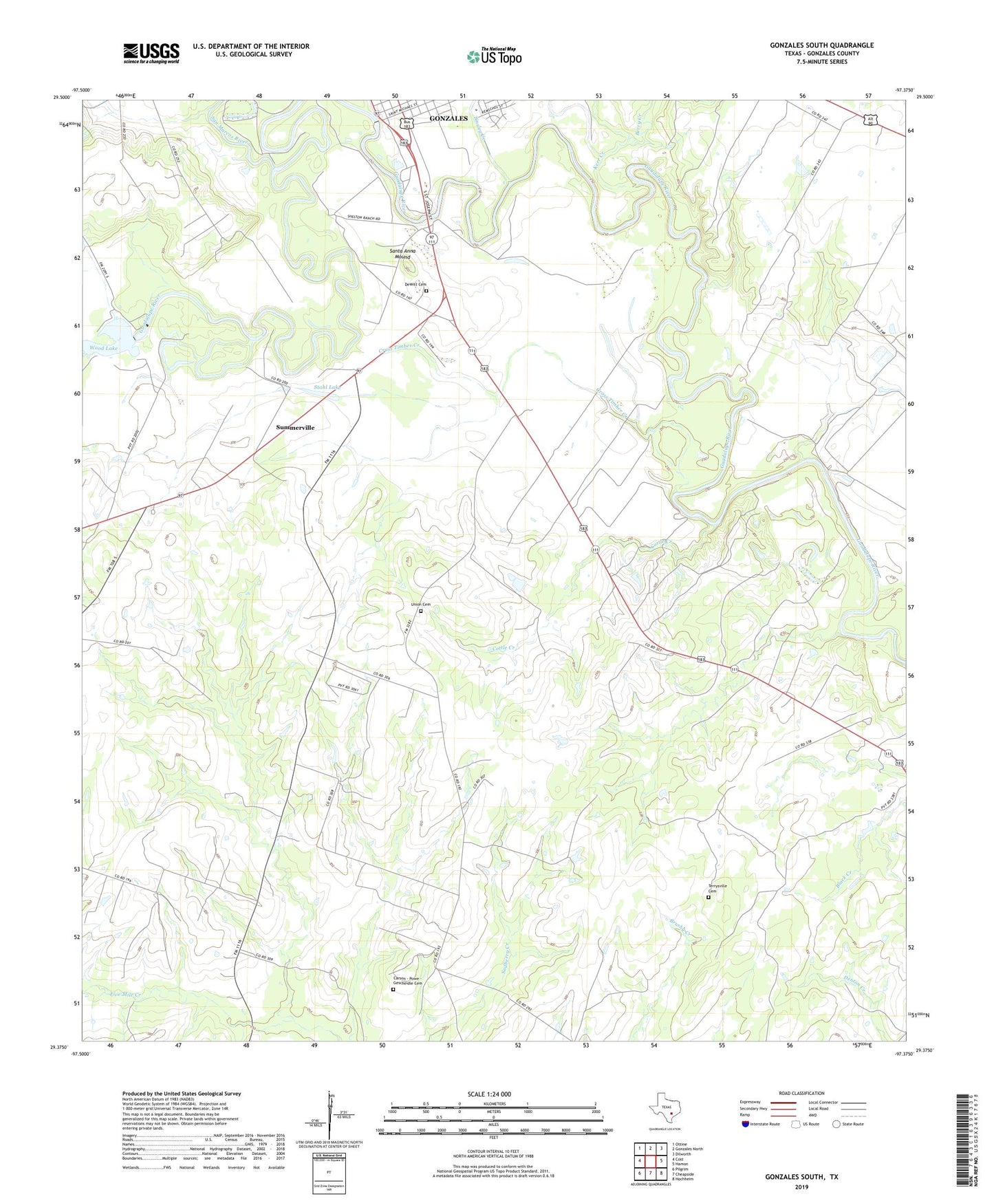
2019 topographic map quadrangle Gonzales South in the state of Texas. Scale: 1:24000. Based on the newly updated USGS 7.5' US Topo map series, this map is in the following counties: Gonzales. The map contains contour data, water features, and other items you are used to seeing on USGS maps, but also has updated roads and other features. This is the next generation of topographic maps. Printed on high-quality waterproof paper with UV fade-resistant inks.
Quads adjacent to this one:
West: Cost
Northwest: Ottine
North: Gonzales North
Northeast: Dilworth
East: Hamon
Southeast: Hochheim
South: Cheapside
Southwest: Pilgrim
Contains the following named places: Berry Creek, Carson - Powe Cemetery, Cost-Wrightsboro Division, Cottle Creek, Cross Timber Creek, DeWitt Cemetery, Gonzales County, Gonzales Dam, Gonzales Lake, Independence Park, Kerr Creek, Pioneer Village, San Marcos River, Santa Anna Mound, Stahl Lake, Summerville, Terryville African American Cemetery, Tinsley Creek, Union Cemetery, Wood Lake, Wood Lake Dam, ZIP Code: 78629