MyTopo
Hainesville Texas US Topo Map
Couldn't load pickup availability
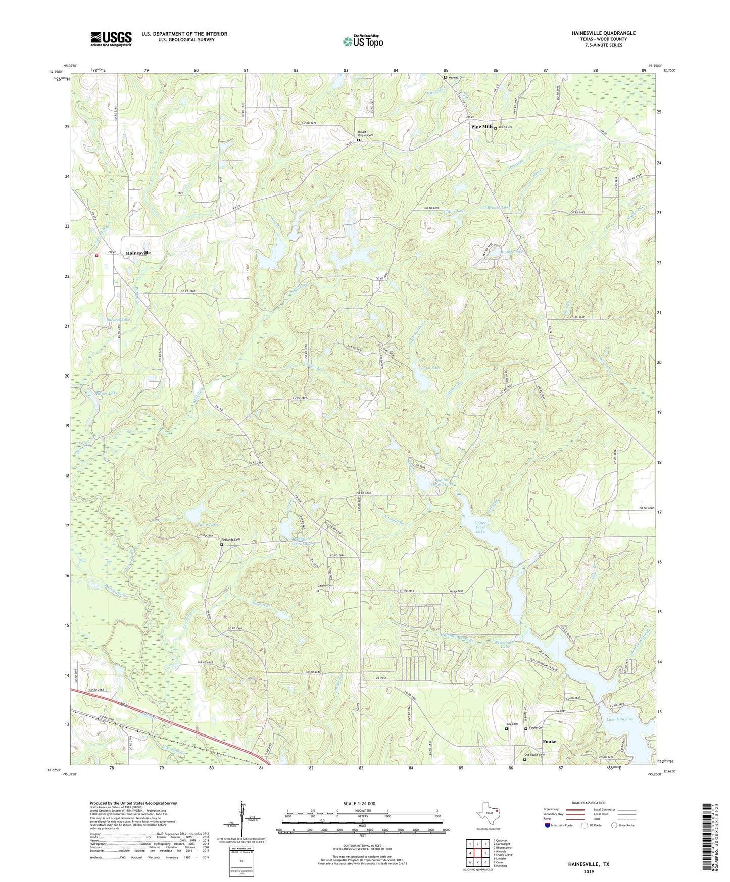
2022 topographic map quadrangle Hainesville in the state of Texas. Scale: 1:24000. Based on the newly updated USGS 7.5' US Topo map series, this map is in the following counties: Wood. The map contains contour data, water features, and other items you are used to seeing on USGS maps, but also has updated roads and other features. This is the next generation of topographic maps. Printed on high-quality waterproof paper with UV fade-resistant inks.
Quads adjacent to this one:
West: Mineola
Northwest: Quitman
North: Cartwright
Northeast: Rhonesboro
East: Shady Grove
Southeast: Hawkins
South: Crow
Southwest: Lindale
This map covers the same area as the classic USGS quad with code o32095f3.
Contains the following named places: Black Creek, Bobo Lake, Bobo Lake Dam, Brooks Lake, Camp Lake, Camp Lake Dam, Clear Branch, Cowan Branch, Dobbs Lake, Dupree Oil Field, Fouke, Fouke Cemetery, Gentry Cemetery, George White Branch, Haines Creek, Haines Lake, Hainesville, Hainesville Volunteer Fire Department, High Meadows Branch Library, Highland Pond Branch, Houston Public Library, Indian Mound Dam, Indian Mound Lake, Jayco Branch, Johnson Branch Library, Jones Branch, Kashmere Gardens Branch Library, Lacey Branch, Lake Hawkins, Lake O the Woods, Lake O the Woods Dam, Lakewood Branch Library, Lower West Lake, Lower West Lake Dam, Macedonia Church, Mancuso Branch Library, Mansell Cemetery, Melcher Branch Library, Mill Race, Moody Branch Library, Mount Pisgah Cemetery, Norman Branch, Octavia Fields Branch Library, Old Fouke Cemetery, Page Park, Park Place Regional Library, Patton Creek, Pine Mills, Pine Mills Church, Poley Branch, Puckett Lake, Ray Cemetery, Red Branch, Redland Acres Dam, Redland Acres Lake, Redlands Cemetery, Reed Cemetery, Rock Falls Creek, Salesmanship Boys Club, Shipps Lake, Shirley Barbara Oil Field, Stagner Branch, Stagner Church, Upper West Lake, Upper West Lake Dam, West Lakes, Wisenbaker Lake


