MyTopo
Halfway Texas US Topo Map
Couldn't load pickup availability
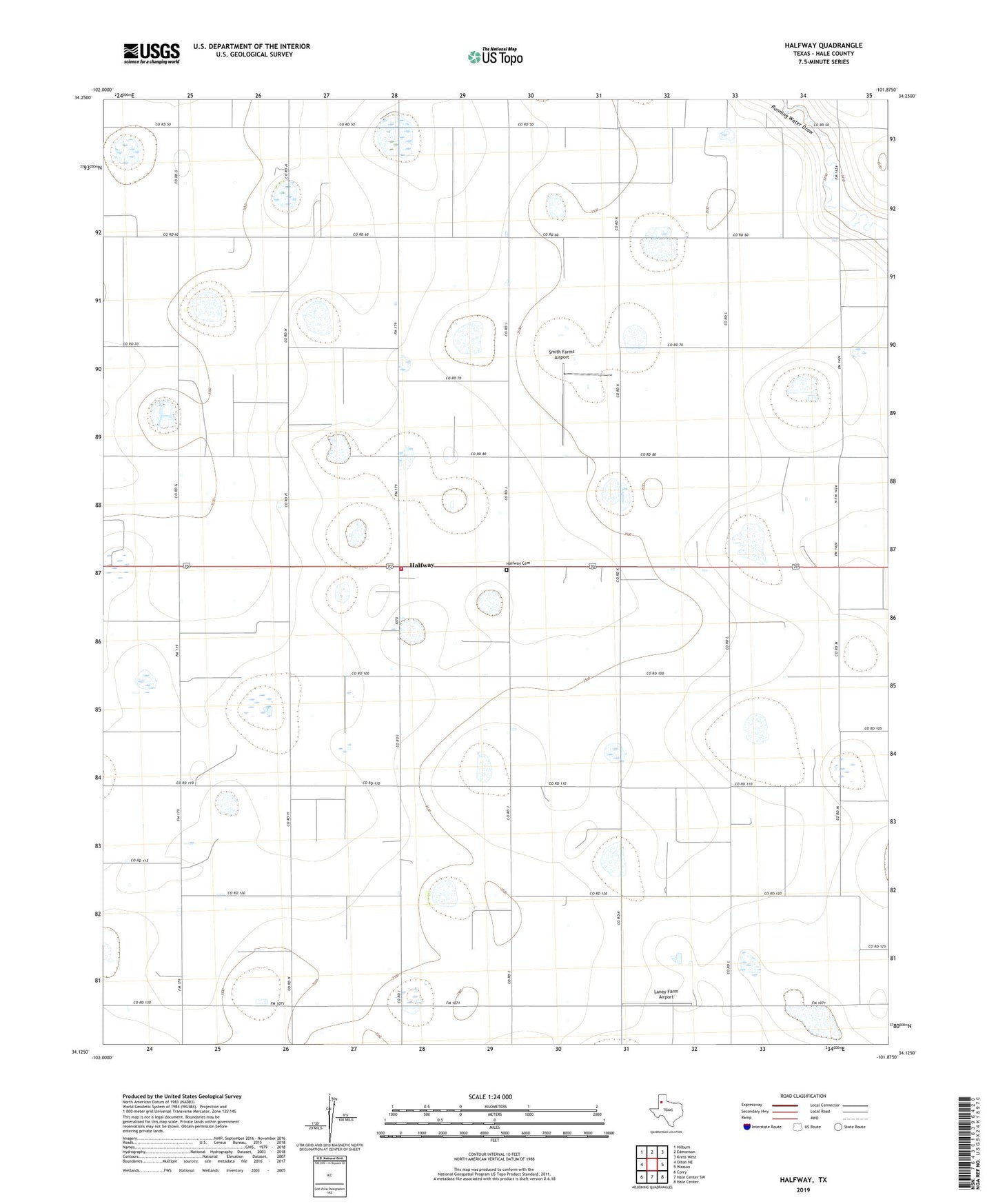
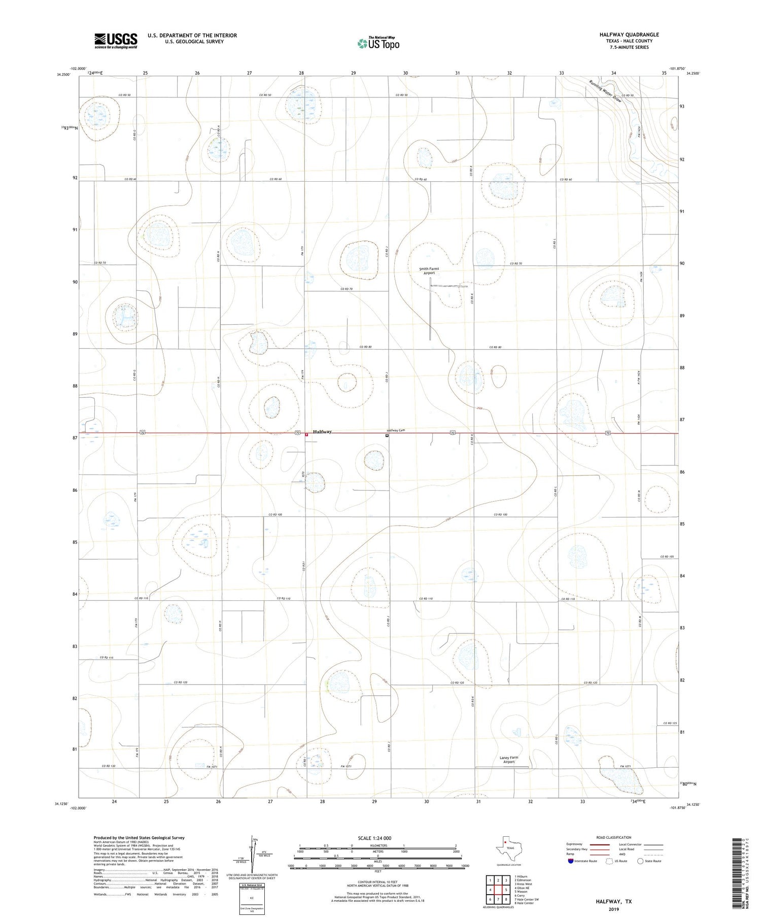
2019 topographic map quadrangle Halfway in the state of Texas. Scale: 1:24000. Based on the newly updated USGS 7.5' US Topo map series, this map is in the following counties: Hale. The map contains contour data, water features, and other items you are used to seeing on USGS maps, but also has updated roads and other features. This is the next generation of topographic maps. Printed on high-quality waterproof paper with UV fade-resistant inks.
Quads adjacent to this one:
West: Olton NE
Northwest: Hilburn
North: Edmonson
Northeast: Kress West
East: Wasson
Southeast: Hale Center
South: Hale Center SW
Southwest: Corry
Contains the following named places: Buddy Harmel Airport, Halfway, Halfway Cemetery, Halfway Park, Halfway Volunteer Fire Department, High Plains Research Foundation, Laney Farm Airport, Smith Farms Airport