MyTopo
Hale Center Texas US Topo Map
Couldn't load pickup availability
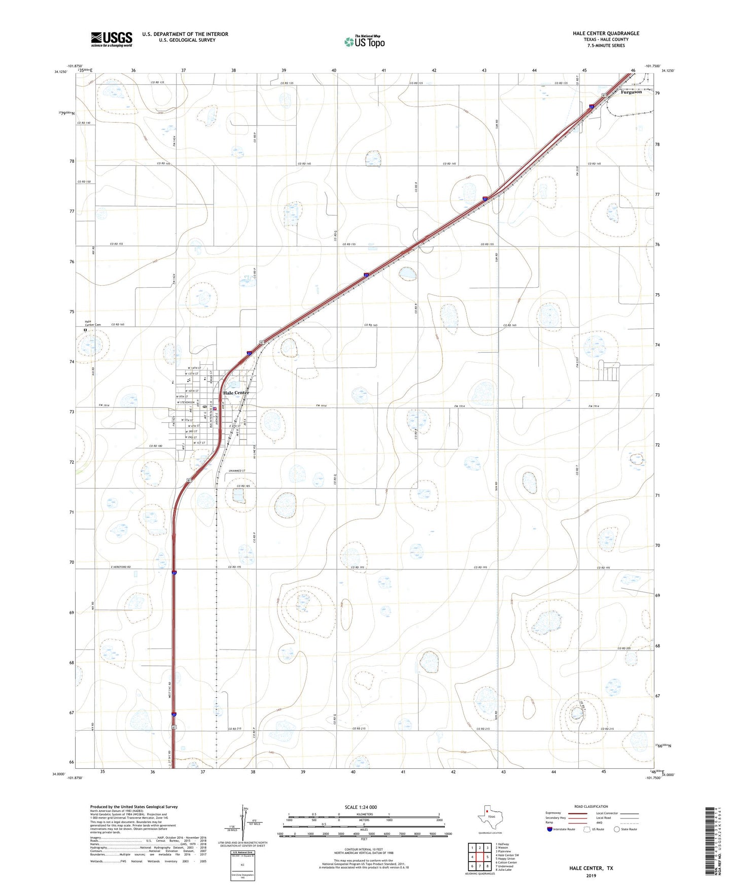
2022 topographic map quadrangle Hale Center in the state of Texas. Scale: 1:24000. Based on the newly updated USGS 7.5' US Topo map series, this map is in the following counties: Hale. The map contains contour data, water features, and other items you are used to seeing on USGS maps, but also has updated roads and other features. This is the next generation of topographic maps. Printed on high-quality waterproof paper with UV fade-resistant inks.
Quads adjacent to this one:
West: Hale Center SW
Northwest: Halfway
North: Wasson
Northeast: Plainview
East: Happy Union
Southeast: Julia Lake
South: Underwood
Southwest: Cotton Center
This map covers the same area as the classic USGS quad with code o34101a7.
Contains the following named places: Akin Elementary School, Akin School, Ambulance Service of Hale Center, City of Hale Center, Hale Center, Hale Center Cemetery, Hale Center City Hall, Hale Center Police Department, Hale Center Post Office, Hale Center Volunteer Fire Department, Hale City, Hale County, Hi - Plains Hospital, Six Point