MyTopo
Wasson Texas US Topo Map
Couldn't load pickup availability
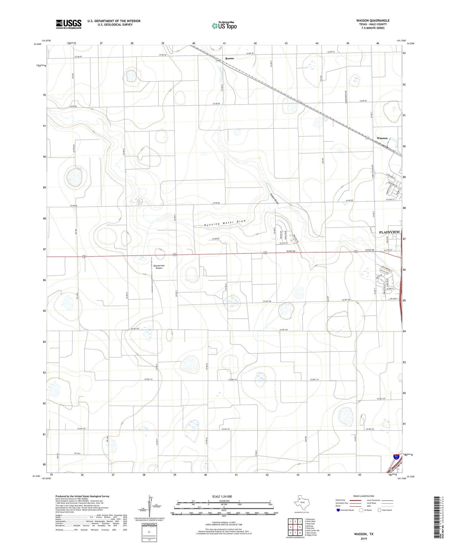
2022 topographic map quadrangle Wasson in the state of Texas. Scale: 1:24000. Based on the newly updated USGS 7.5' US Topo map series, this map is in the following counties: Hale. The map contains contour data, water features, and other items you are used to seeing on USGS maps, but also has updated roads and other features. This is the next generation of topographic maps. Printed on high-quality waterproof paper with UV fade-resistant inks.
Quads adjacent to this one:
West: Halfway
Northwest: Edmonson
North: Kress West
Northeast: Kress East
East: Plainview
Southeast: Happy Union
South: Hale Center
Southwest: Hale Center SW
This map covers the same area as the classic USGS quad with code o34101b7.
Contains the following named places: Boone, Heck Cotton Gin, Plainview Division, Quarterway Airport, Slaton Draw, Soil Conservation Service Site 4 Dam, Soil Conservation Service Site 4 Reservoir, Wasson, West Side Cotton Gin