MyTopo
Hallettsville SE Texas US Topo Map
Couldn't load pickup availability
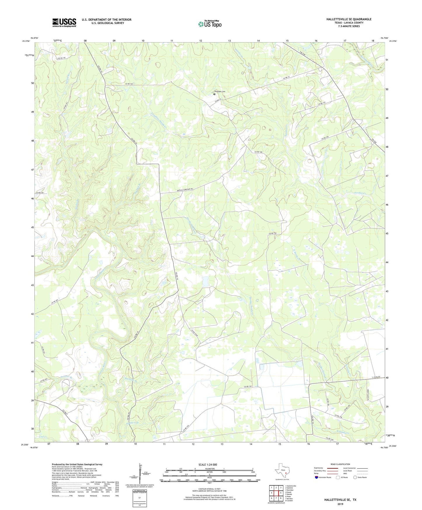
2022 topographic map quadrangle Hallettsville SE in the state of Texas. Scale: 1:24000. Based on the newly updated USGS 7.5' US Topo map series, this map is in the following counties: Lavaca. The map contains contour data, water features, and other items you are used to seeing on USGS maps, but also has updated roads and other features. This is the next generation of topographic maps. Printed on high-quality waterproof paper with UV fade-resistant inks.
Quads adjacent to this one:
West: Ezzell
Northwest: Hallettsville
North: Sublime
Northeast: Sheridan
East: Speaks
Southeast: Cordele
South: Morales
Southwest: Hope
This map covers the same area as the classic USGS quad with code o29096c7.
Contains the following named places: Bachelor Branch, Double S Branch, East Sandy Creek, Haidusek Cemetery, Laughlins Sandy Creek, Pin Oak Branch, Solonsville Church, Spring Branch, Summer Branch