MyTopo
Indian Mesa SE Texas US Topo Map
Couldn't load pickup availability
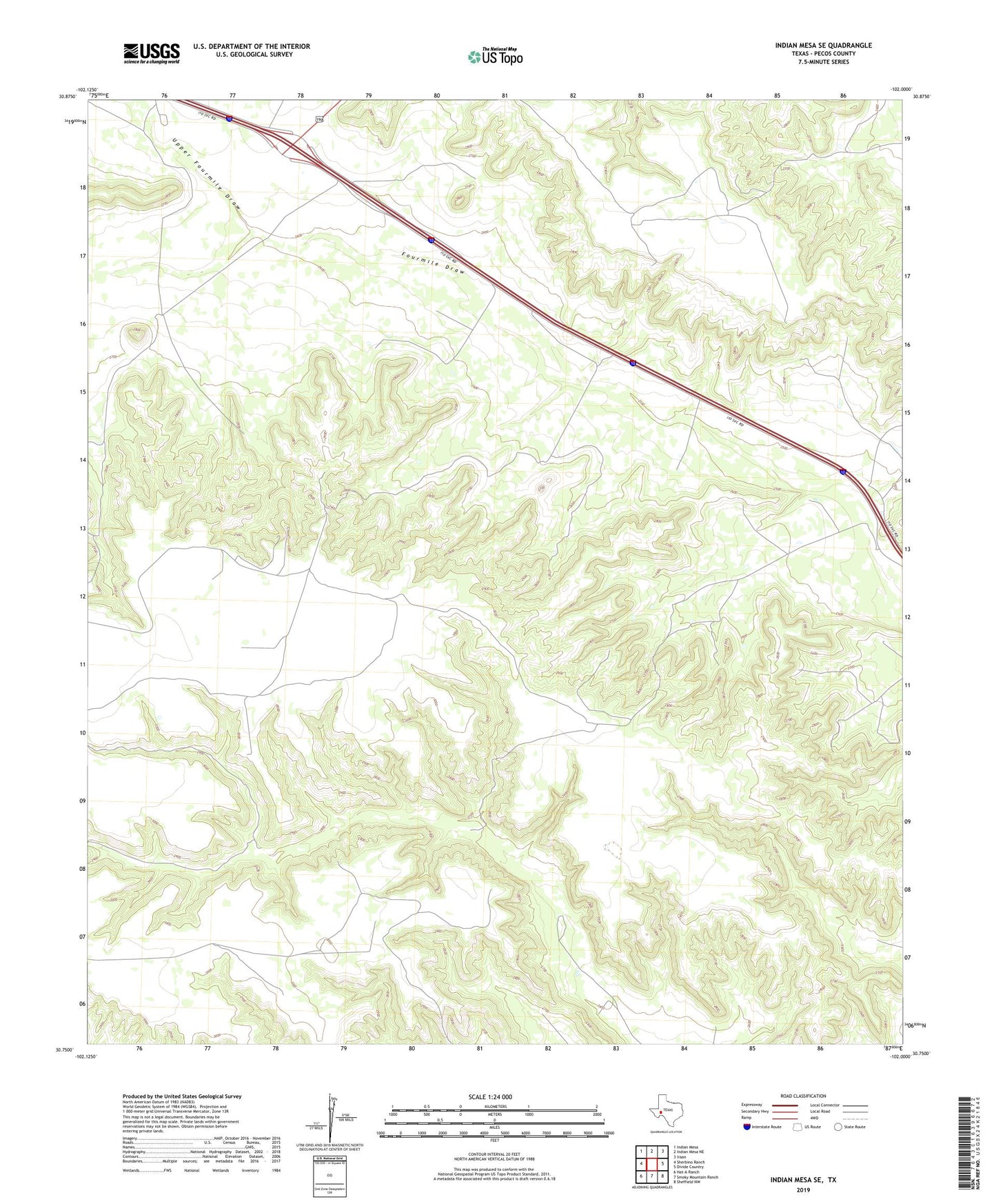
2022 topographic map quadrangle Indian Mesa SE in the state of Texas. Scale: 1:24000. Based on the newly updated USGS 7.5' US Topo map series, this map is in the following counties: Pecos. The map contains contour data, water features, and other items you are used to seeing on USGS maps, but also has updated roads and other features. This is the next generation of topographic maps. Printed on high-quality waterproof paper with UV fade-resistant inks.
Quads adjacent to this one:
West: Sherbino Ranch
Northwest: Indian Mesa
North: Indian Mesa NE
Northeast: Iraan
East: Divide Country
Southeast: Sheffield NW
South: Smoky Mountain Ranch
Southwest: Hat-A Ranch
This map covers the same area as the classic USGS quad with code o30102g1.
Contains the following named places: Claude Owens Ranch, Iraan Division, Jeff Owens Ranch, Perry Ranch, Priest Beavers Oil Field, Upper Fourmile Draw