MyTopo
Isla Texas US Topo Map
Couldn't load pickup availability
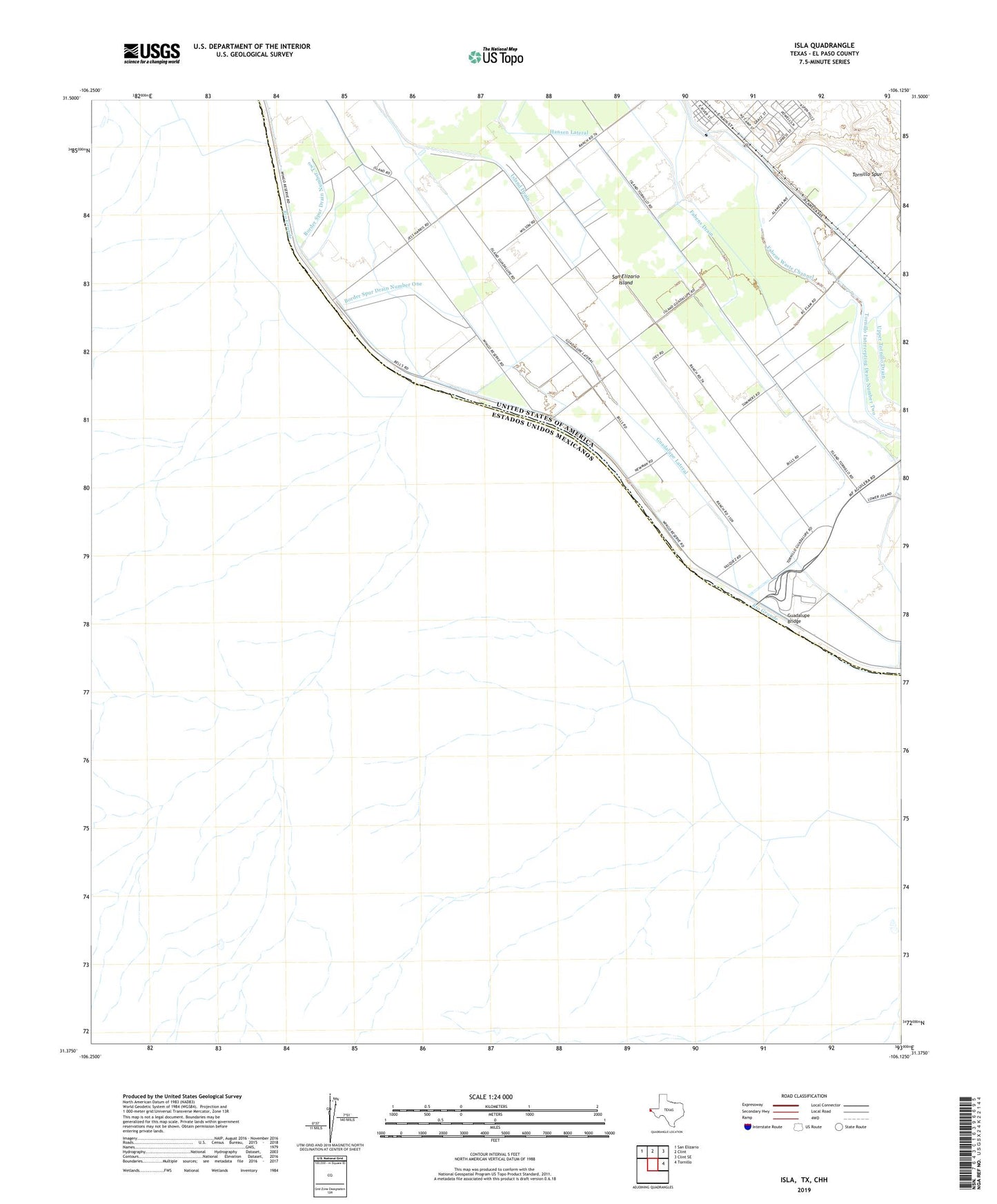
2022 topographic map quadrangle Isla in the state of Texas. Scale: 1:24000. Based on the newly updated USGS 7.5' US Topo map series, this map is in the following counties: El Paso. The map contains contour data, water features, and other items you are used to seeing on USGS maps, but also has updated roads and other features. This is the next generation of topographic maps. Printed on high-quality waterproof paper with UV fade-resistant inks.
Quads adjacent to this one:
Northwest: San Elizario
North: Clint
Northeast: Clint SE
East: Tornillo
This map covers the same area as the classic USGS quad with code o31106d2.
Contains the following named places: Border Spur Drain Number One, Border Spur Drain Number Two, Fabens Drain, Guadalupe Bridge, Guadalupe Lateral, Hansen Lateral, Isla, Island Drain, San Elizario Island, Tornillo Intercepting Drain Number Two, Tornillo Spur, Upper Tornillo Drain, ZIP Code: 79838