
MyTopo
Keller Bay Texas US Topo Map
Couldn't load pickup availability
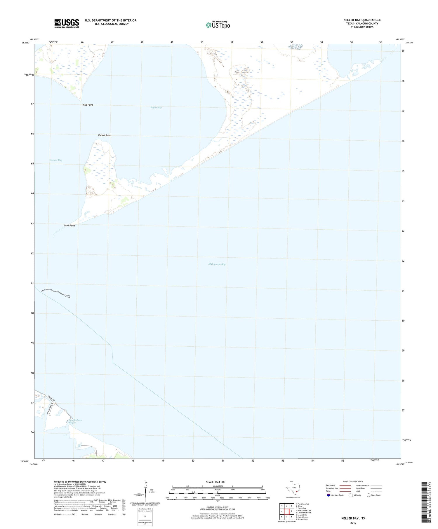
2019 topographic map quadrangle Keller Bay in the state of Texas. Scale: 1:24000. Based on the newly updated USGS 7.5' US Topo map series, this map is in the following counties: Calhoun. The map contains contour data, water features, and other items you are used to seeing on USGS maps, but also has updated roads and other features. This is the next generation of topographic maps. Printed on high-quality waterproof paper with UV fade-resistant inks.
Quads adjacent to this one:
West: Port Lavaca East
Northwest: Point Comfort
North: Olivia
Northeast: Turtle Bay
East: Carancahua Pass
Southeast: Decros Point
Southwest: Seadrift NE
Contains the following named places: Indianola, Indianola Fishing Center Marina, Indianola Island, Keller Bay, Mud Point, Point Comfort Division, Powderhorn Bayou, Redfish Lake, Rupert Point, Sand Point


