MyTopo
Port Lavaca East Texas US Topo Map
Couldn't load pickup availability
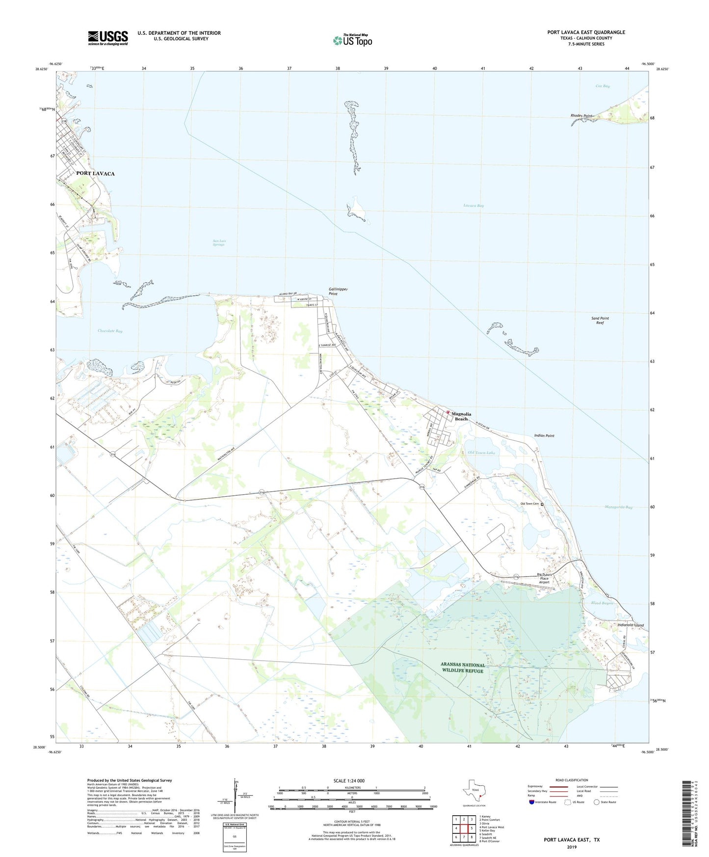
2022 topographic map quadrangle Port Lavaca East in the state of Texas. Scale: 1:24000. Based on the newly updated USGS 7.5' US Topo map series, this map is in the following counties: Calhoun. The map contains contour data, water features, and other items you are used to seeing on USGS maps, but also has updated roads and other features. This is the next generation of topographic maps. Printed on high-quality waterproof paper with UV fade-resistant inks.
Quads adjacent to this one:
West: Port Lavaca West
Northwest: Kamey
North: Point Comfort
Northeast: Olivia
East: Keller Bay
South: Seadrift NE
Southwest: Seadrift
This map covers the same area as the classic USGS quad with code o28096e5.
Contains the following named places: A C Louwien Bakery, Alamo Beach, Alamo Beach Census Designated Place, Big Duke's Place Airport, Blind Bayou, Chocolate Bay, Episcopal Church Grace Parish, Gallinipper Point, Gallinipper Reef, Harbor of Refuge, Indian Point, Indianola Cemetery, Magnolia Beach, Magnolia Beach Census Designated Place, Magnolia Beach Volunteer Fire Department, Mud Lake, Nautical Landing Marina, Old Town Cemetery, Old Town Lake, Port Lavaca Division, Rhodes Point, S and S Marina, Saint Joseph Baptist Church, San Luis Springs, Sand Point Reef, Wilkins School, ZIP Code: 77979