MyTopo
Kiowa Peak Texas US Topo Map
Couldn't load pickup availability
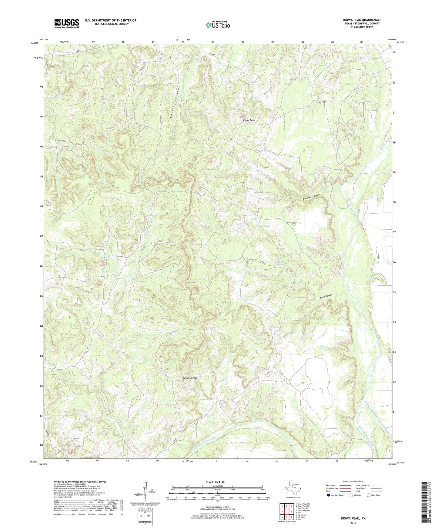
2019 topographic map quadrangle Kiowa Peak in the state of Texas. Scale: 1:24000. Based on the newly updated USGS 7.5' US Topo map series, this map is in the following counties: Stonewall. The map contains contour data, water features, and other items you are used to seeing on USGS maps, but also has updated roads and other features. This is the next generation of topographic maps. Printed on high-quality waterproof paper with UV fade-resistant inks.
Quads adjacent to this one:
West: Kiowa Peak SW
Northwest: Kiowa Peak NW
North: Kiowa Peak NE
Northeast: Knox City NW
East: Jud
Southeast: Rule
South: Old Glory
Southwest: Aspermont
Contains the following named places: Beaver Canyon, Beaver Springs, Davidson Peak, Double Mountain Fork Brazos River, Keller Lake, Keller Lake Dam, Kiowa Peak, Kowa Park Oil Field, Panther Canyon, Salt Fork Brazos River, Two F Crossing