MyTopo
Knickerbocker NW Texas US Topo Map
Couldn't load pickup availability
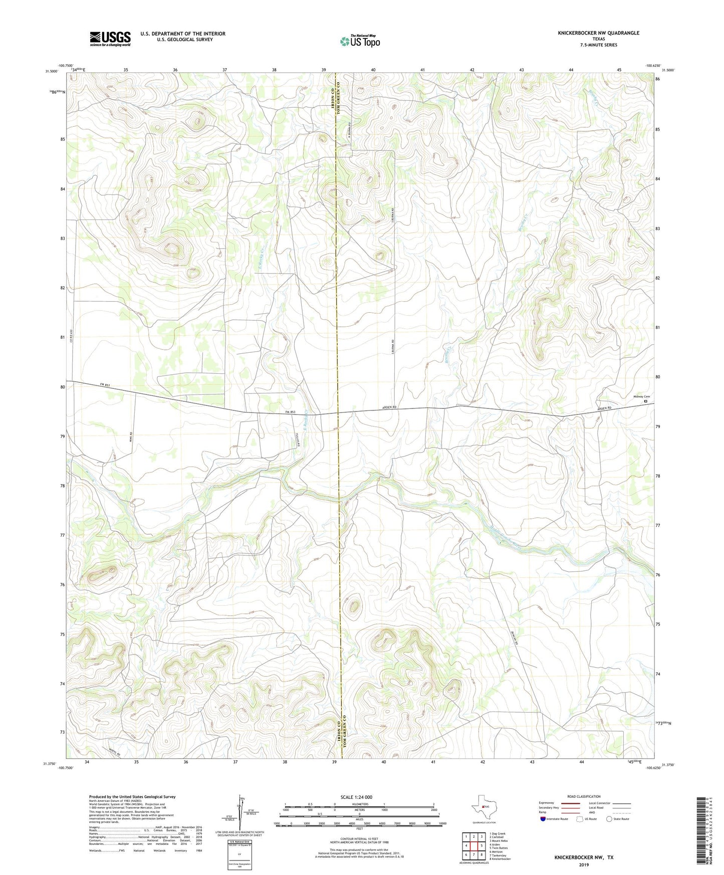
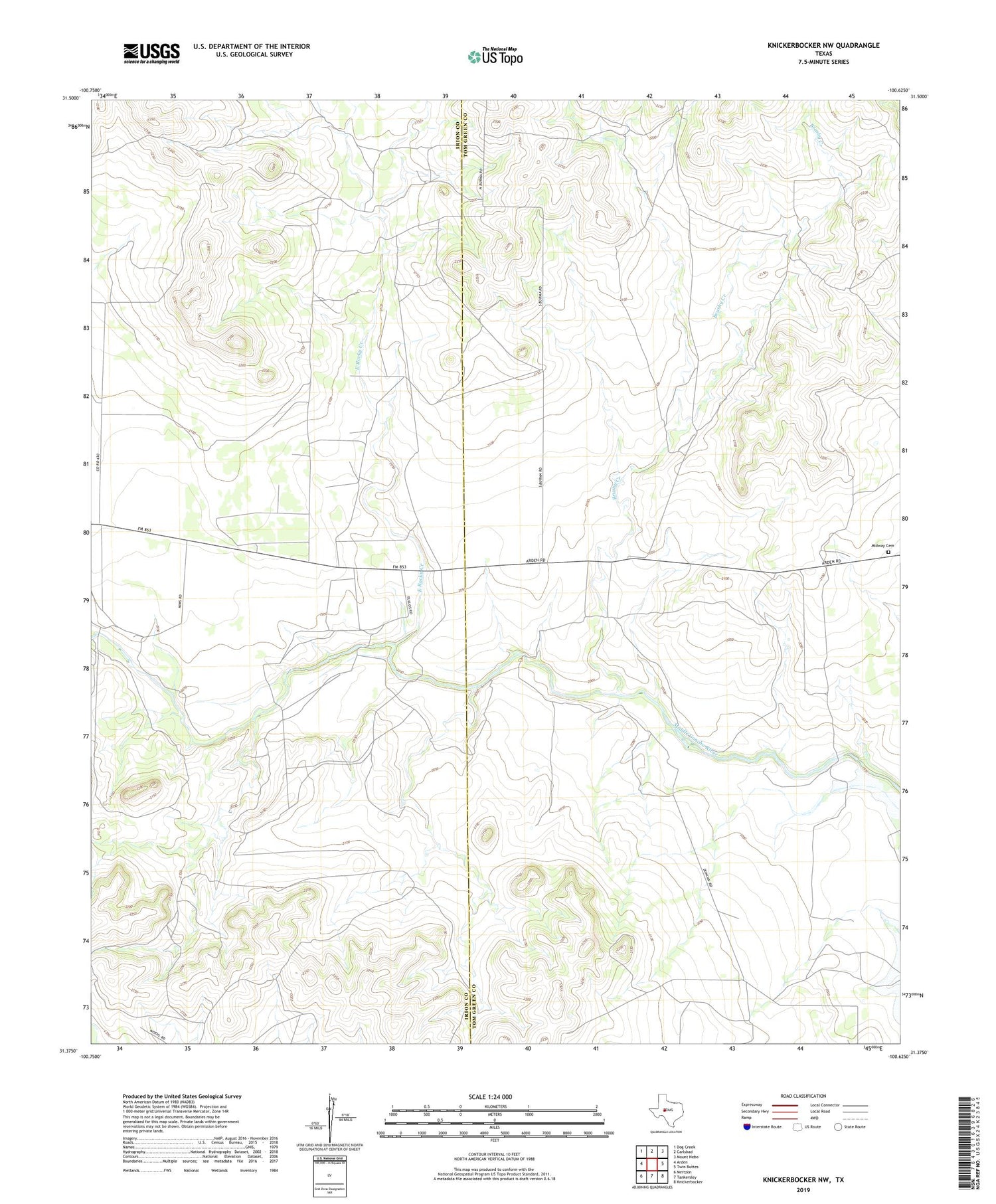
2019 topographic map quadrangle Knickerbocker NW in the state of Texas. Scale: 1:24000. Based on the newly updated USGS 7.5' US Topo map series, this map is in the following counties: Tom Green, Irion. The map contains contour data, water features, and other items you are used to seeing on USGS maps, but also has updated roads and other features. This is the next generation of topographic maps. Printed on high-quality waterproof paper with UV fade-resistant inks.
Quads adjacent to this one:
West: Arden
Northwest: Dog Creek
North: Carlsbad
Northeast: Mount Nebo
East: Twin Buttes
Southeast: Knickerbocker
South: Tankersley
Southwest: Mertzon
Contains the following named places: Brushy Creek, Duncan Ranch, East Rocky Creek, Field Ranch, Kelly Ranch, Mayer Ranch, Midway Cemetery, Tullos Ranch, Wardlaw Ranch