MyTopo
Lelia Lake Texas US Topo Map
Couldn't load pickup availability
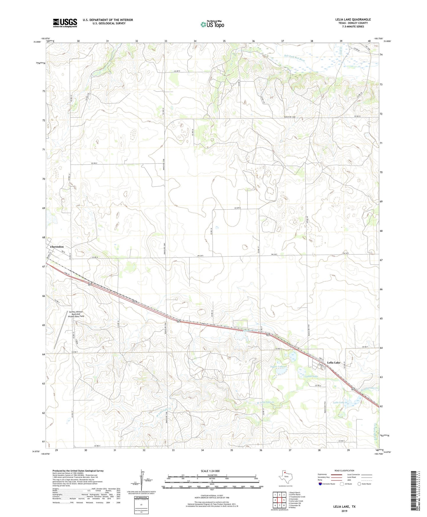
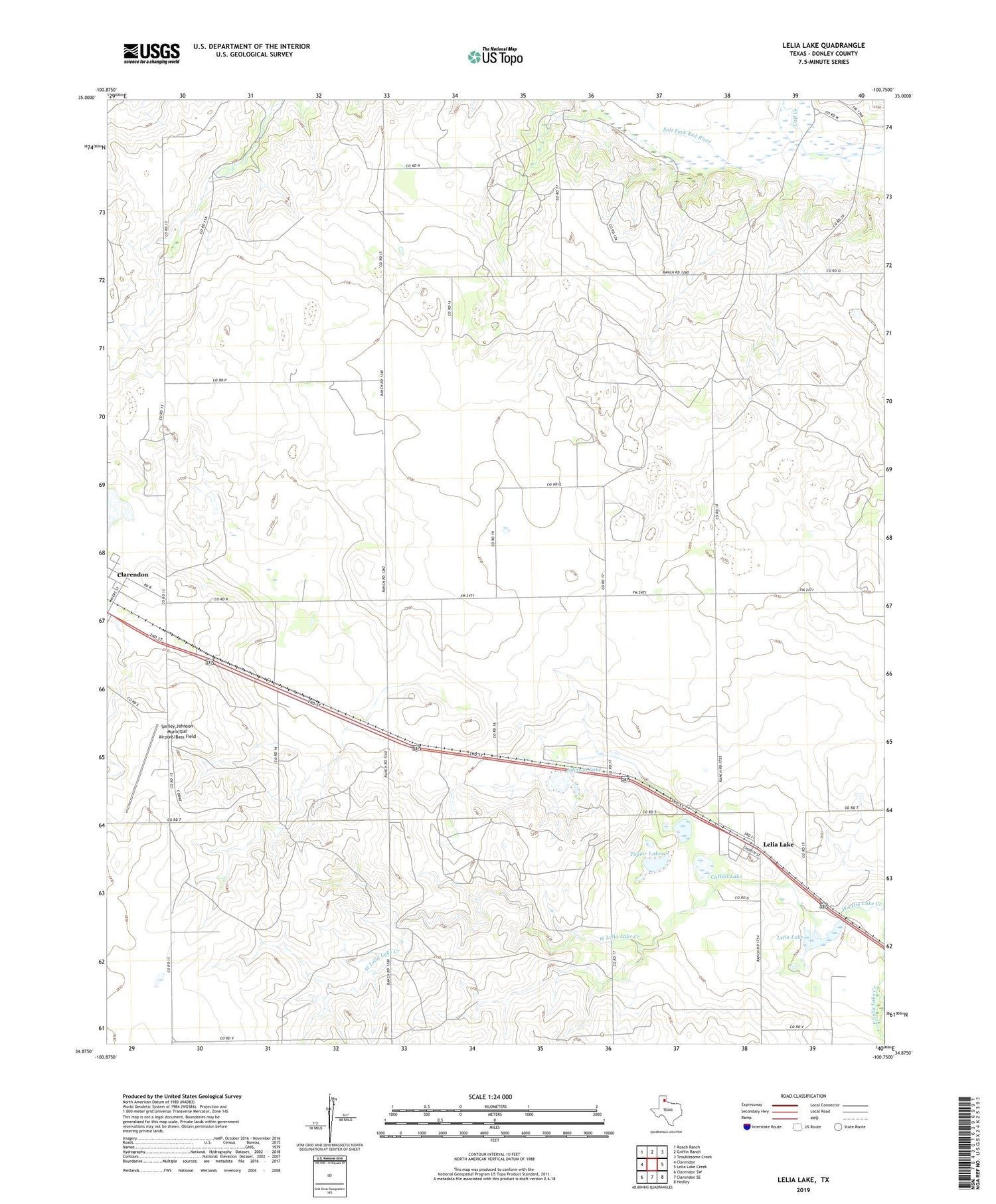
2019 topographic map quadrangle Lelia Lake in the state of Texas. Scale: 1:24000. Based on the newly updated USGS 7.5' US Topo map series, this map is in the following counties: Donley. The map contains contour data, water features, and other items you are used to seeing on USGS maps, but also has updated roads and other features. This is the next generation of topographic maps. Printed on high-quality waterproof paper with UV fade-resistant inks.
Quads adjacent to this one:
West: Clarendon
Northwest: Roach Ranch
North: Griffin Ranch
Northeast: Troublesome Creek
East: Lelia Lake Creek
Southeast: Hedley
South: Clarendon SE
Southwest: Clarendon SW
Contains the following named places: Cattail Lake, Donley County, Johnson Lake, Lelia Lake, Lelia Lake Census Designated Place, Playa Lakes Wildlife Management Area - Taylor Unit, Saddlers Creek, Smiley Johnson Municipal Airport/Bass Field, Taylor Lakes, ZIP Code: 79240