MyTopo
Troublesome Creek Texas US Topo Map
Couldn't load pickup availability
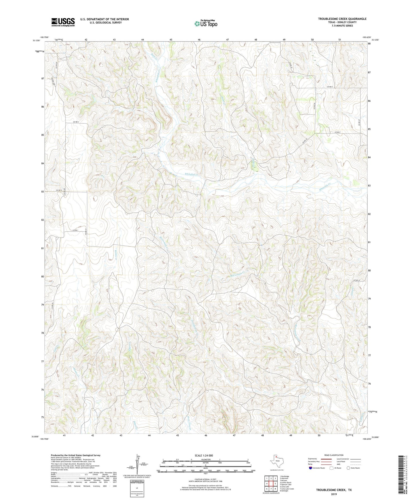
2022 topographic map quadrangle Troublesome Creek in the state of Texas. Scale: 1:24000. Based on the newly updated USGS 7.5' US Topo map series, this map is in the following counties: Donley. The map contains contour data, water features, and other items you are used to seeing on USGS maps, but also has updated roads and other features. This is the next generation of topographic maps. Printed on high-quality waterproof paper with UV fade-resistant inks.
Quads adjacent to this one:
West: Griffin Ranch
Northwest: Rockledge
North: Alanreed
Northeast: McLean
East: Spencer Lake
Southeast: McKnight
South: Lelia Lake Creek
Southwest: Lelia Lake
This map covers the same area as the classic USGS quad with code o35100a6.
Contains the following named places: Camp Creek, Parks Creek, Rock Creek, Troublesome Creek