MyTopo
Linda Lake North Texas US Topo Map
Couldn't load pickup availability
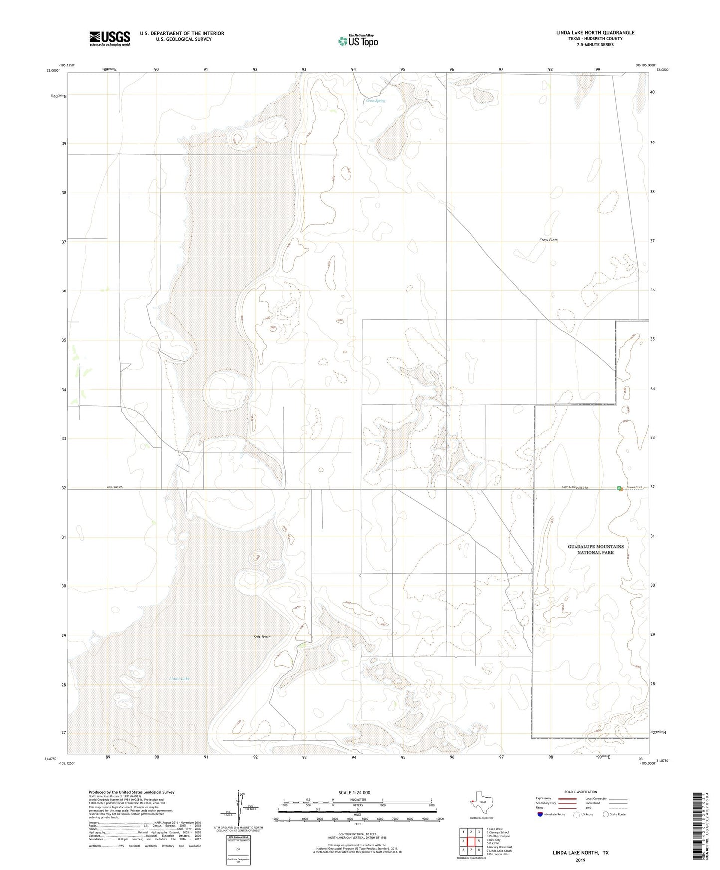
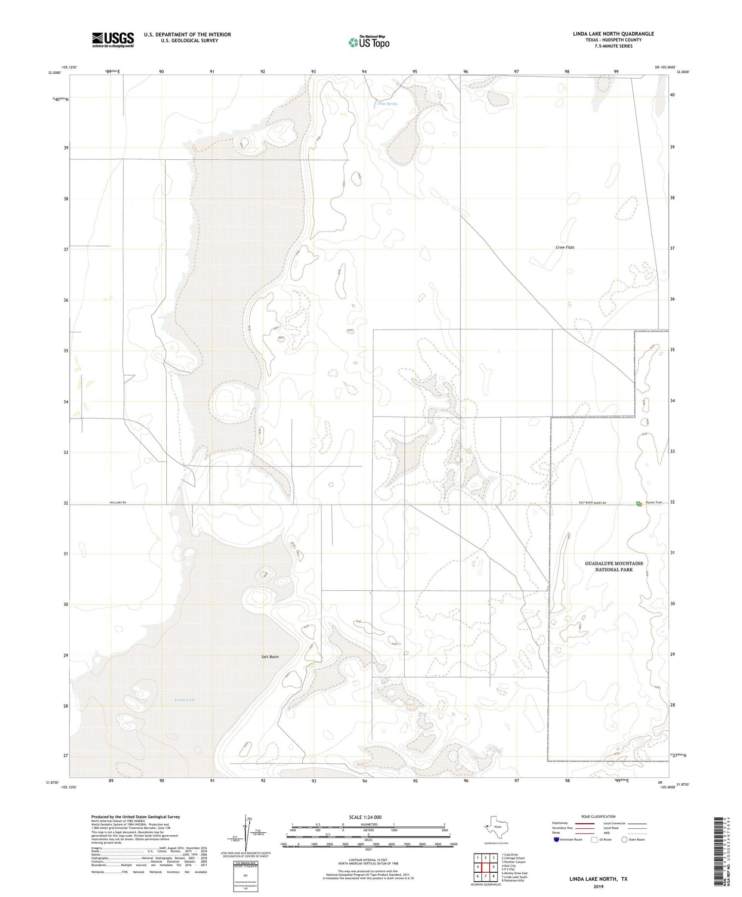
2019 topographic map quadrangle Linda Lake North in the state of Texas. Scale: 1:24000. Based on the newly updated USGS 7.5' US Topo map series, this map is in the following counties: Hudspeth. The map contains contour data, water features, and other items you are used to seeing on USGS maps, but also has updated roads and other features. This is the next generation of topographic maps. Printed on high-quality waterproof paper with UV fade-resistant inks.
Quads adjacent to this one:
West: Dell City
Northwest: Culp Draw
North: Cienega School
Northeast: Panther Canyon
East: P X Flat
Southeast: Patterson Hills
South: Linda Lake South
Southwest: Mickey Draw East
Contains the following named places: Butterfield Trail, Crow Flats, Crow Spring, Linda Lake, Salt Basin