MyTopo
Liverpool Texas US Topo Map
Couldn't load pickup availability
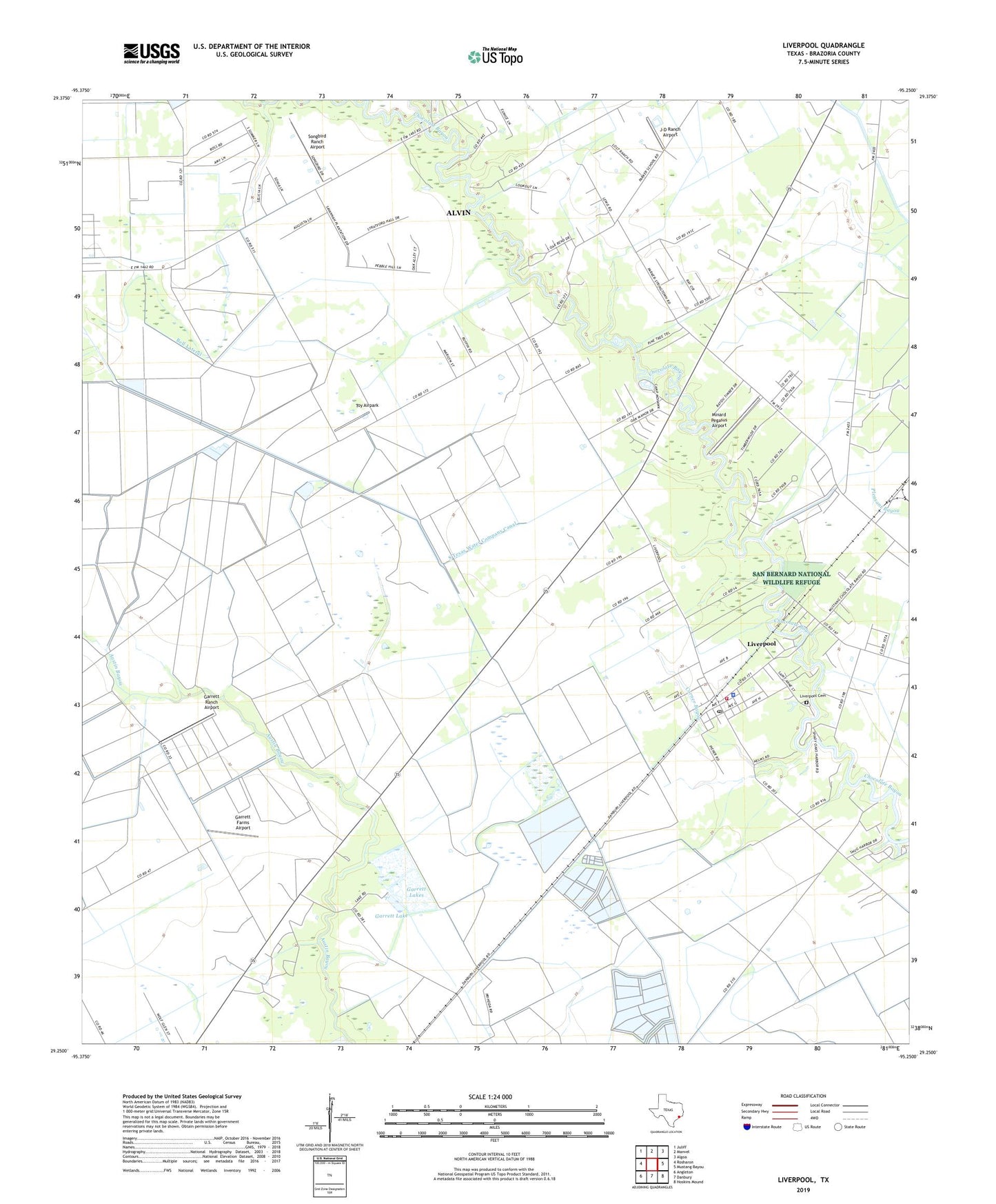
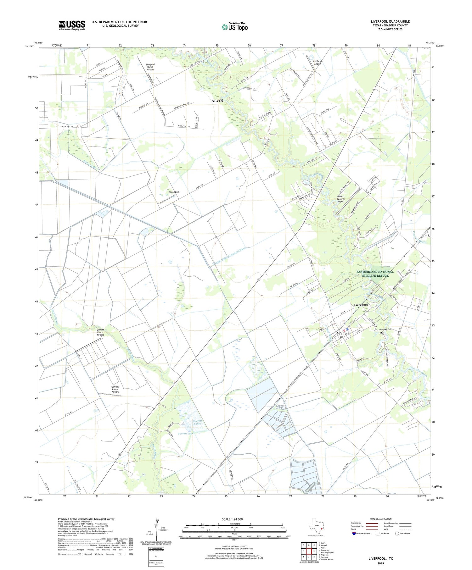
2019 topographic map quadrangle Liverpool in the state of Texas. Scale: 1:24000. Based on the newly updated USGS 7.5' US Topo map series, this map is in the following counties: Brazoria. The map contains contour data, water features, and other items you are used to seeing on USGS maps, but also has updated roads and other features. This is the next generation of topographic maps. Printed on high-quality waterproof paper with UV fade-resistant inks.
Quads adjacent to this one:
West: Rosharon
Northwest: Juliff
North: Manvel
Northeast: Algoa
East: Mustang Bayou
Southeast: Hoskins Mound
South: Danbury
Southwest: Angleton
Contains the following named places: Alvin-Pearland Division, Bell Lateral, Camp Mohawk, Chocolate Bayou, Chocolate Springs, City of Liverpool, Corner Bayou, Dingle Lake Number 1, Dingle Lake Number 1 Levee, Dingle Lake Number 2, Dingle Lake Number 2 Levee, Garrett Dam, Garrett Farms Airport, Garrett Lake, Garrett Lakes, Garrett Ranch Airport, J-D Ranch Airport, Liverpool, Liverpool Cemetery, Liverpool Police Department, Liverpool Post Office, Liverpool Volunteer Fire Department, Minard Pegasus Airport, Pearland Branch Library, Rowan Oil Field, Songbird Ranch Airport, South Texas Water Company Canal, Toy Airpark, ZIP Code: 77577