MyTopo
Loma Alta NW Texas US Topo Map
Couldn't load pickup availability
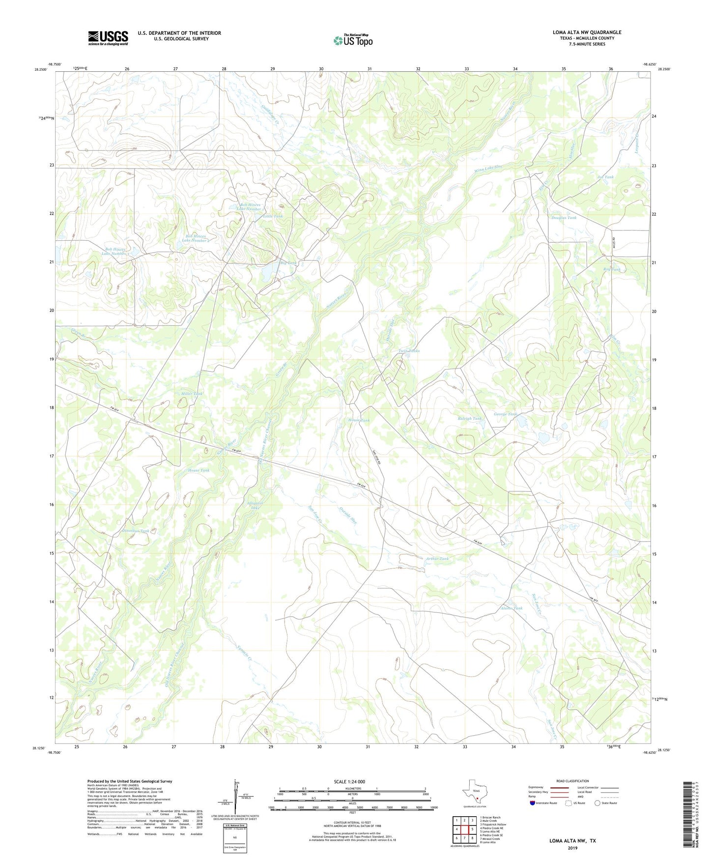
2019 topographic map quadrangle Loma Alta NW in the state of Texas. Scale: 1:24000. Based on the newly updated USGS 7.5' US Topo map series, this map is in the following counties: McMullen. The map contains contour data, water features, and other items you are used to seeing on USGS maps, but also has updated roads and other features. This is the next generation of topographic maps. Printed on high-quality waterproof paper with UV fade-resistant inks.
Quads adjacent to this one:
West: Piedra Creek NE
Northwest: Briscoe Ranch
North: Mule Creek
Northeast: Fitzpatrick Hollow
East: Loma Alta NE
Southeast: Loma Alta
South: Mirasol Creek
Southwest: Piedra Creek SE
Contains the following named places: Alamo Tank, Alligator Lake, Arthur Tank, Big Tank, Big Tank Dam, Bob Hinces Lake Number 1, Bob Hinces Lake Number 1 Dam, Bob Hinces Lake Number 2, Bob Hinces Lake Number 2 Dam, Bob Hinces Lake Number 3, Bob Hinces Lake Number 3 Dam, Chimney Ranch, Cicero Tank, Dinosaur Tank, Douglas Tank, Elm Creek, George Tank, Green Branch, Guadalupe Creek, House Tank, Joe Tank, Little Tank, Lost Tank, Miles Ranch, Miller Tank, Old Nueces River Channel, Outside Slue, Raleigh Tank, Roy Tank, Roy Tank Dam, San Jose Creek, San Jose Ranch, Twin Tanks, Winn Lake Slue, Yankee Target Range, Ygnacio Creek