MyTopo
Loma Alta NE Texas US Topo Map
Couldn't load pickup availability
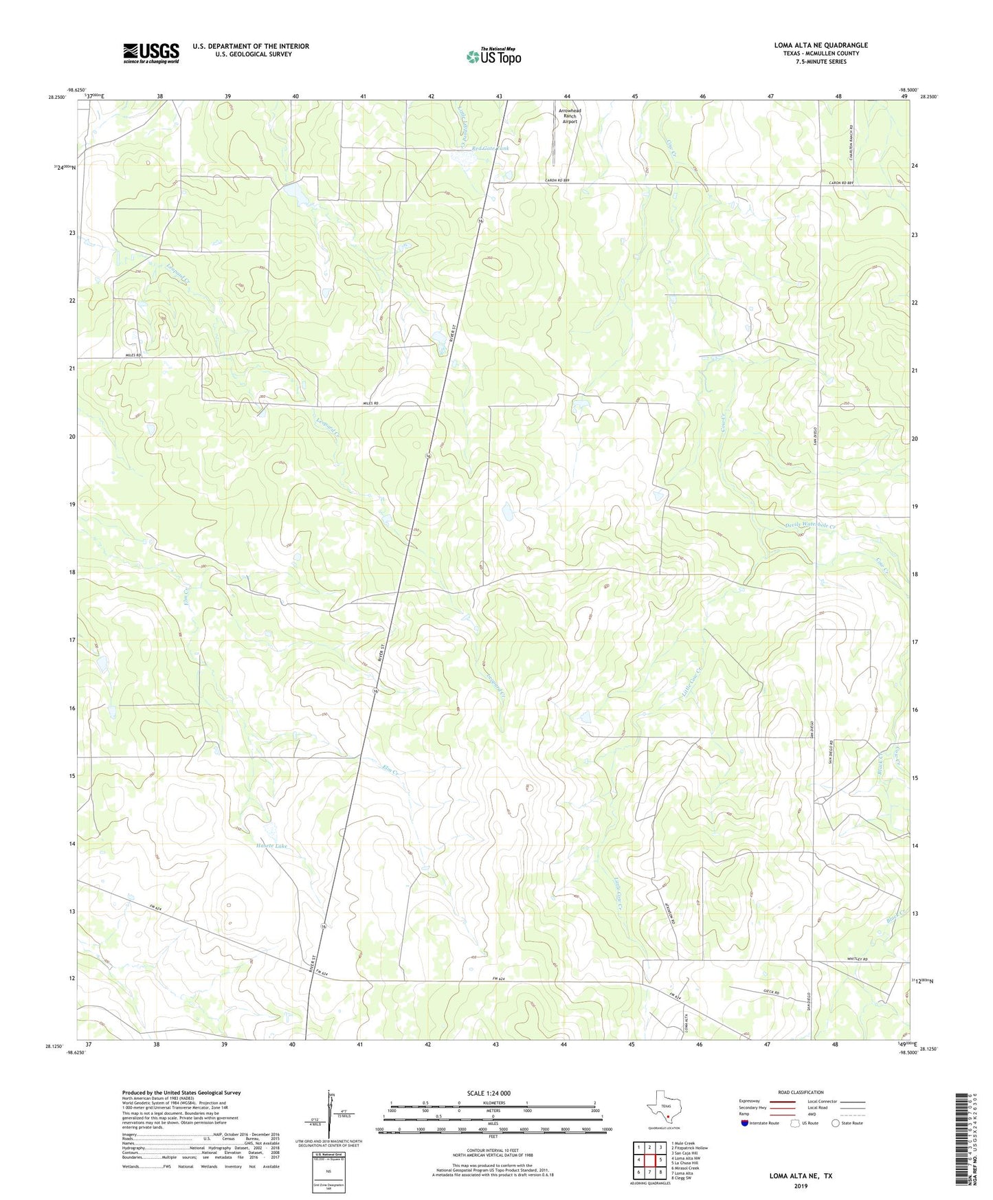
2022 topographic map quadrangle Loma Alta NE in the state of Texas. Scale: 1:24000. Based on the newly updated USGS 7.5' US Topo map series, this map is in the following counties: McMullen. The map contains contour data, water features, and other items you are used to seeing on USGS maps, but also has updated roads and other features. This is the next generation of topographic maps. Printed on high-quality waterproof paper with UV fade-resistant inks.
Quads adjacent to this one:
West: Loma Alta NW
Northwest: Mule Creek
North: Fitzpatrick Hollow
Northeast: San Caja Hill
East: La Chusa Hill
Southeast: Clegg SW
South: Loma Alta
Southwest: Mirasol Creek
This map covers the same area as the classic USGS quad with code o28098b5.
Contains the following named places: Atkinson Ranch, Black Creek, Devils Waterhole Creek, Hasete Lake, Hasete Lake Dam, Hasete Ranch, Little Cow Creek, Red Gate Tank, Red Gate Tank Dam