
MyTopo
Los Amigos Windmill Texas US Topo Map
Couldn't load pickup availability
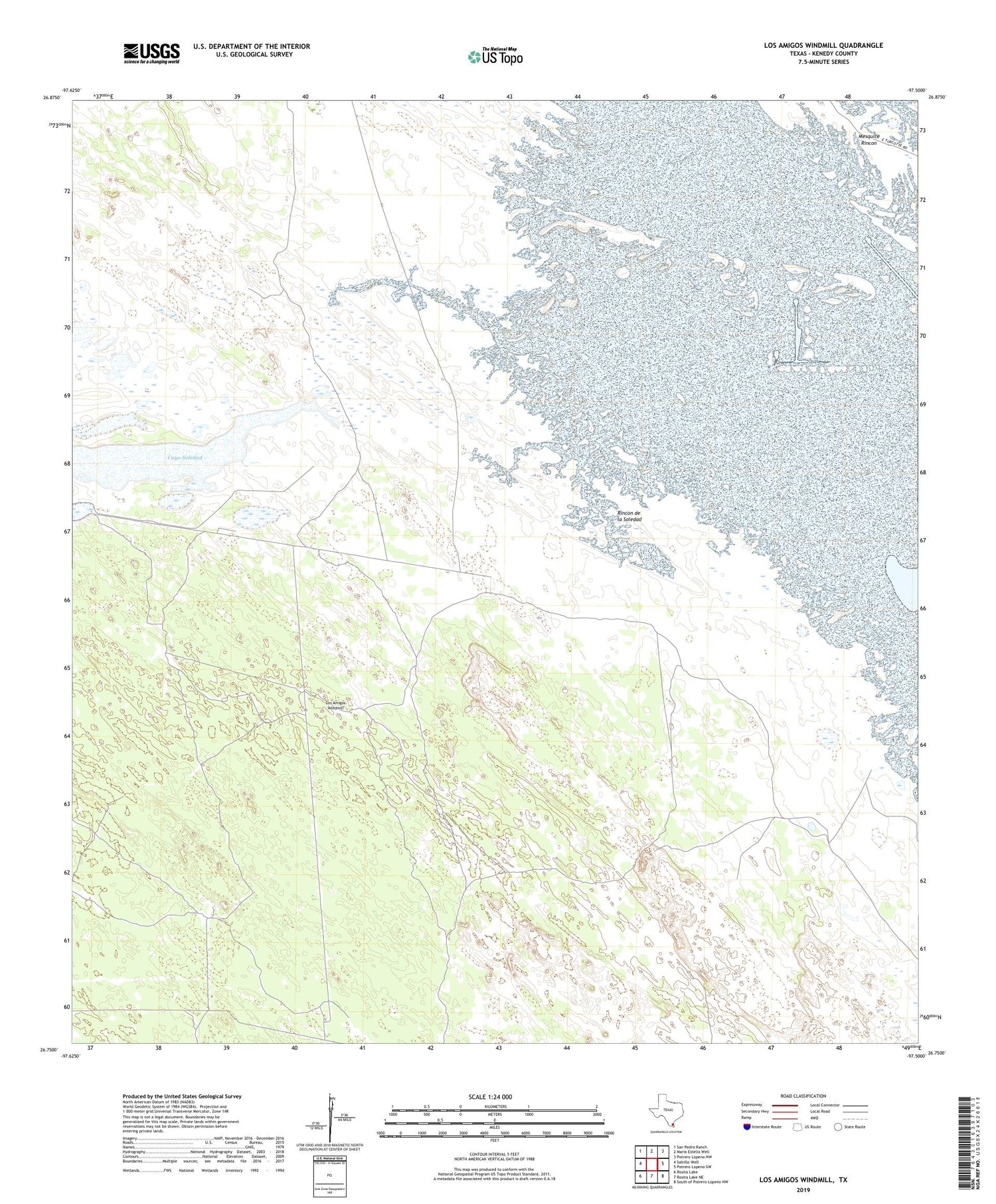
2019 topographic map quadrangle Los Amigos Windmill in the state of Texas. Scale: 1:24000. Based on the newly updated USGS 7.5' US Topo map series, this map is in the following counties: Kenedy. The map contains contour data, water features, and other items you are used to seeing on USGS maps, but also has updated roads and other features. This is the next generation of topographic maps. Printed on high-quality waterproof paper with UV fade-resistant inks.
Quads adjacent to this one:
West: Saltillo Well
Northwest: San Pedro Ranch
North: Maria Estella Well
Northeast: Potrero Lopeno NW
East: Potrero Lopeno SW
Southeast: South of Potrero Lopeno NW
South: Rosita Lake NE
Southwest: Rosita Lake
Contains the following named places: Agua Dulee Windmill, Agujas Artesian Well, Andres Artesian Well, Bano Windmill, Bonita Windmill, Candilia Well, Cayo Soledad, Encino de la Cruz Artesian Well, Guajolote Windmill, Los Amigos Windmill, Mesquite Rincon, Parrita Windmill, Rincon de la Soledad, Rode Artesian Well, San Jose Windmill, Santa Cruz Windmill, Soledad Windmill, Topo Artesian Well


