MyTopo
Rosita Lake NE Texas US Topo Map
Couldn't load pickup availability
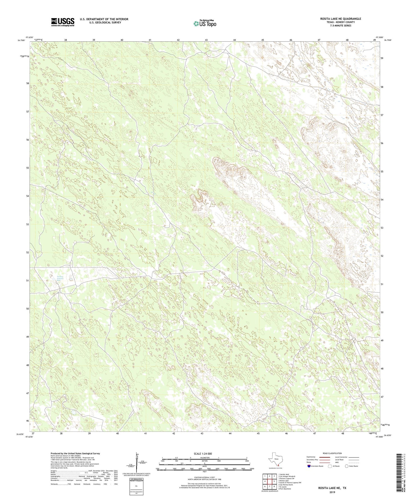
2022 topographic map quadrangle Rosita Lake NE in the state of Texas. Scale: 1:24000. Based on the newly updated USGS 7.5' US Topo map series, this map is in the following counties: Kenedy. The map contains contour data, water features, and other items you are used to seeing on USGS maps, but also has updated roads and other features. This is the next generation of topographic maps. Printed on high-quality waterproof paper with UV fade-resistant inks.
Quads adjacent to this one:
West: Rosita Lake
Northwest: Saltillo Well
North: Los Amigos Windmill
Northeast: Potrero Lopeno SW
East: South of Potrero Lopeno NW
Southeast: Port Mansfield
South: El Jardin
Southwest: San Perlita North
This map covers the same area as the classic USGS quad with code o26097f5.
Contains the following named places: Alto Blanco Windmill, Campo Verde Windmill, Cerritos Windmill, Charco Blanco Windmill, Charco Nine Windmill, Colorado Windmill, El Burro Windmill, El Cortado Windmill, El Nido Windmill, El Rayo Windmill, Frijon Windmill, Gavilan Windmill, Horaito Windmill, Huidos Windmill, Huisatcho Windmills, Mesquite Windmill, Mova Windmill, San Luis Windmill, Tecolote Artesian Well, Teodoro Windmill, Totache Windmill