MyTopo
Lovelady South Texas US Topo Map
Couldn't load pickup availability
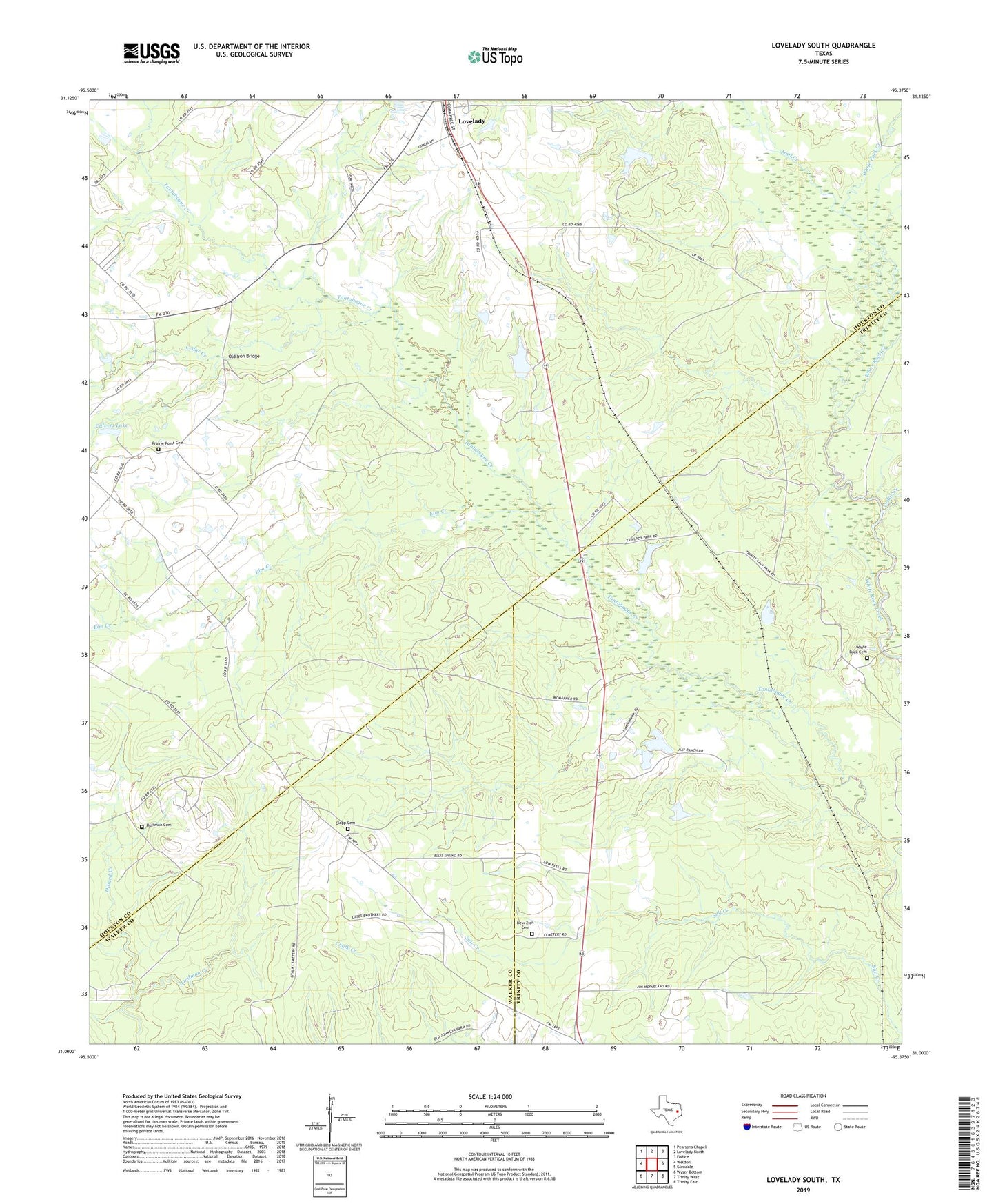
2019 topographic map quadrangle Lovelady South in the state of Texas. Scale: 1:24000. Based on the newly updated USGS 7.5' US Topo map series, this map is in the following counties: Houston, Trinity, Walker. The map contains contour data, water features, and other items you are used to seeing on USGS maps, but also has updated roads and other features. This is the next generation of topographic maps. Printed on high-quality waterproof paper with UV fade-resistant inks.
Quads adjacent to this one:
West: Weldon
Northwest: Pearsons Chapel
North: Lovelady North
Northeast: Fodice
East: Glendale
Southeast: Trinity East
South: Trinity West
Southwest: Wyser Bottom
Contains the following named places: Calvert Lake, Cedar Creek, Clapp Cemetery, Elm Creek, Gail Creek, Huffman Cemetery, Landman Creek, Mount Olive Church, New Zion Cemetery, Old Iron Bridge, Piney Woods Lookout Tower, Pleasant Grove Church, Prairie Point Cemetery, Prairie Point School, Red Branch, Reed Sunshine Cemetery, Sand Branch, Trinity Oil Field, White Rock Cemetery, White Rock Church, ZIP Code: 75851