MyTopo
Weldon Texas US Topo Map
Couldn't load pickup availability
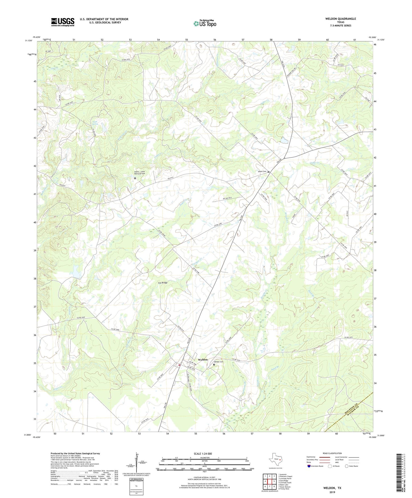
2022 topographic map quadrangle Weldon in the state of Texas. Scale: 1:24000. Based on the newly updated USGS 7.5' US Topo map series, this map is in the following counties: Houston, Walker. The map contains contour data, water features, and other items you are used to seeing on USGS maps, but also has updated roads and other features. This is the next generation of topographic maps. Printed on high-quality waterproof paper with UV fade-resistant inks.
Quads adjacent to this one:
West: Sand Ridge
Northwest: Austonio
North: Pearsons Chapel
Northeast: Lovelady North
East: Lovelady South
Southeast: Trinity West
South: Wyser Bottom
Southwest: Baker Lake
This map covers the same area as the classic USGS quad with code o31095a5.
Contains the following named places: Adams - Little Memorial Cemetery, Antioch, Antioch Church, Antioch Post Office, Cedar Creek, Cemetery Branch, Center School, Gardner Creek, Hazel Chapel, Hazel Chapel Pentecostal Church, Iron Bridge, Lovelady Division, Nash Spring, Original Eastham Prison, Primitive Baptist Church, Rough Edge School, Salem Cemetery, Sand Branch, Sorghumville, Sorghumville School, Volga, Weldon, Weldon Cemetery, Weldon Methodist Church, Weldon Post Office, Weldon School, Weldon Volunteer Fire Department