MyTopo
Lucian Wells Ranch Texas US Topo Map
Couldn't load pickup availability
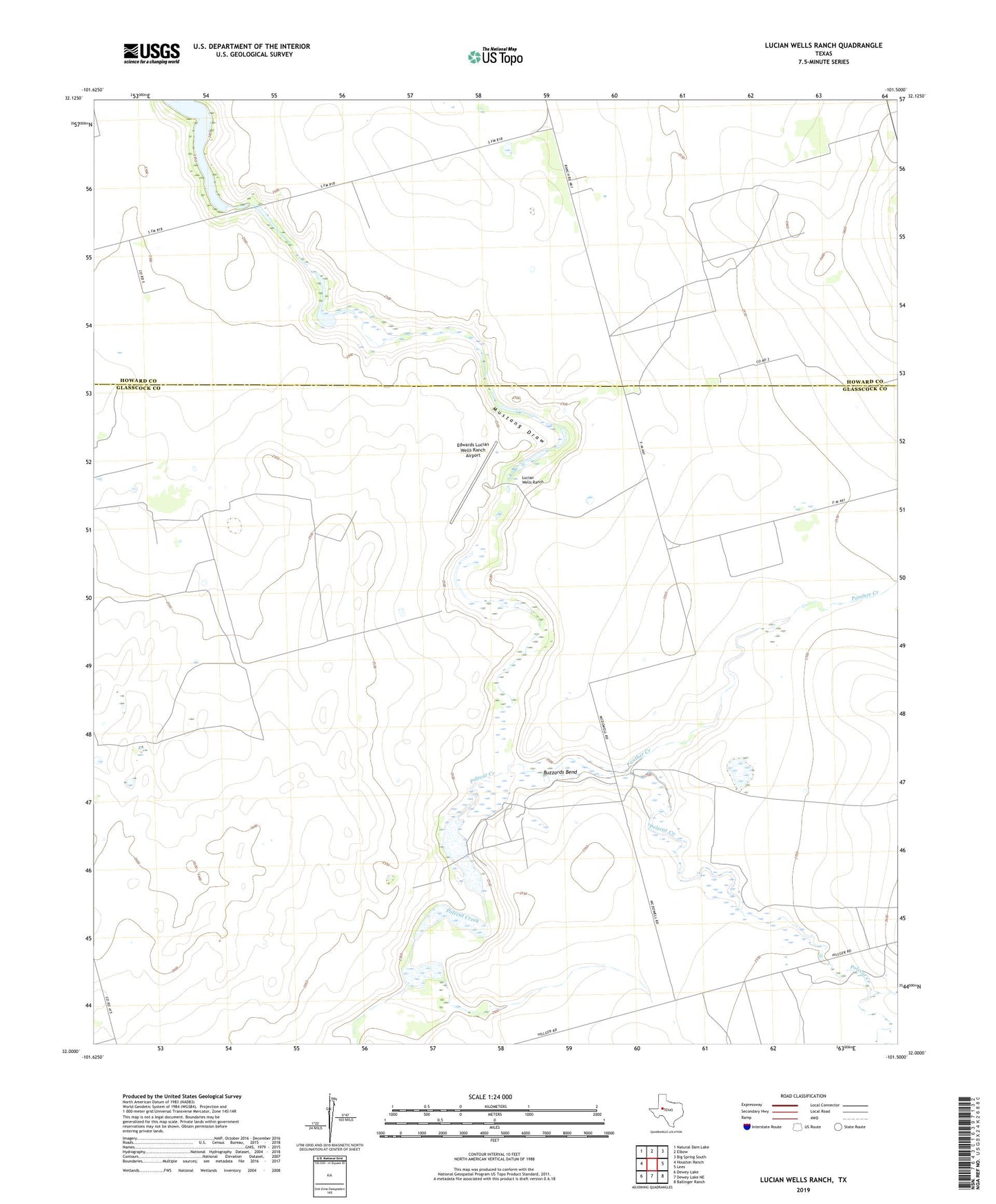
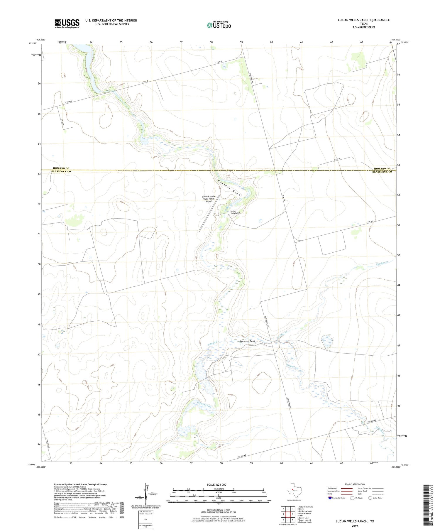
2019 topographic map quadrangle Lucian Wells Ranch in the state of Texas. Scale: 1:24000. Based on the newly updated USGS 7.5' US Topo map series, this map is in the following counties: Glasscock, Howard. The map contains contour data, water features, and other items you are used to seeing on USGS maps, but also has updated roads and other features. This is the next generation of topographic maps. Printed on high-quality waterproof paper with UV fade-resistant inks.
Quads adjacent to this one:
West: Houston Ranch
Northwest: Natural Dam Lake
North: Elbow
Northeast: Big Spring South
East: Lees
Southeast: Ballinger Ranch
South: Dewey Lake NE
Southwest: Dewey Lake
Contains the following named places: Brushy Windmill, Buzzards Bend, Edwards Lucian Wells Ranch Airport, Garden Wells, Hall Ranch, Lucian Wells Ranch, McDowell Ranch, North Windmill, Panther Creek, Panther Windmill, Polecat Creek, Polecat Windmill, School Bus Windmill, West Field Windmill, Windmill Number One, Windmill Number Three, Windmill Number Two